Nov 11, 2025 12:00 PM
AEST/AEDT
On demand
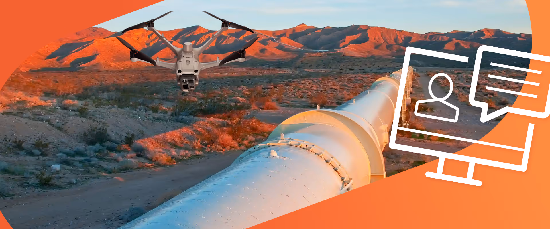
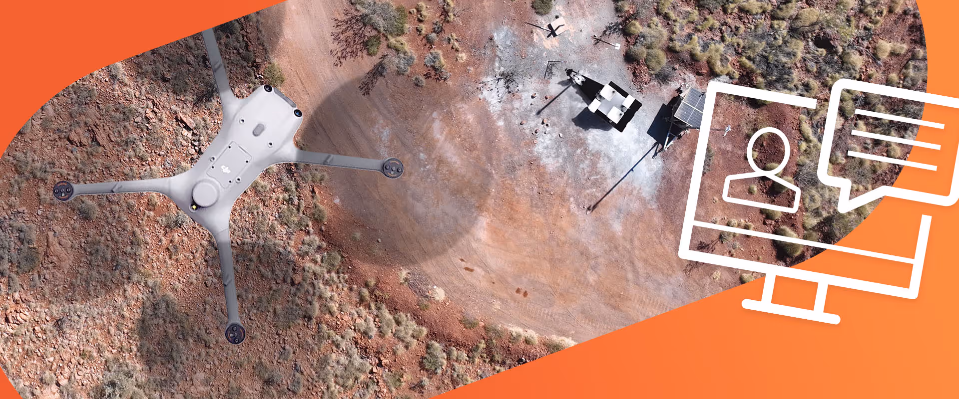
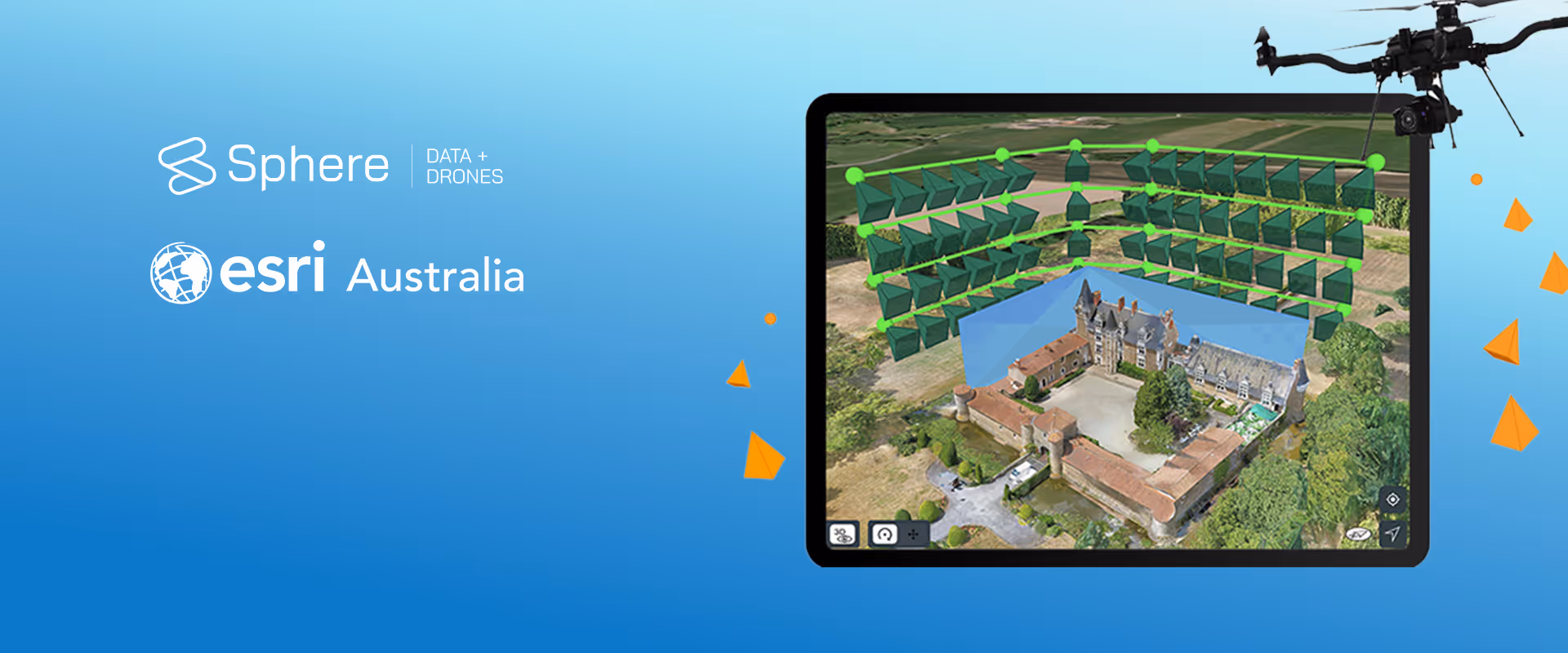
Join Sphere and Esri Australia where we unpacked how Sphere’s HubX and HubT platforms, combined with Esri’s Site Scan for ArcGIS, are transforming the way enterprises manage aerial data. From mining to utilities, civil construction to public safety, this webinar shows how automated drone-to-cloud workflows are solving common challenges, reducing manual effort, lowering costs, and improving safety.
This webinar is BOSSI-accredited. NSW surveyors earn CPD points while learning about the latest drone advancements and regulations. Join live or catch the replay, our expert team will cover everything you need to know.
Points earned:

Director of Systems Engineering & Delivery
Kyle Nebel leads systems engineering and delivery across Sphere's hardware, software, and Hub platform. With 6+ years at Sphere, he drives technical readiness, productisation, and scalable deployment, ensuring customers realise measurable value from day one.
.jpg.avif)
Principal Consultant, Imagery and Remote Sensing
Gordon is one of Esri Australia’s most experienced geospatial consultants. With a career dating back to the early '90s, he helps, he helps streamline workflows and implement geospatial best practice. A trusted expert in imagery and remote sensing, Gordon drives value across diverse industry sectors.