An environmental consultancy out of Queensland, Australia needed an efficient, high-precision solution for topographic mapping and geological exploration across extensive, often remote areas. With projects that spanned vast tracts of land, they sought to increase data accuracy while reducing time on-site and operational costs.
The environmental consultancy’s traditional approach to surveying relied on ground-based surveyors and occasionally helicopter flights for mapping and geological studies, which posed challenges:
To address these challenges, they required a drone solution with advanced photogrammetry capabilities, long-range mapping, and high-precision sensors. The ideal system would meet the following requirements:
Previously, the consultancy deployed ground-based survey teams and sometimes helicopters to gather data, which proved costly and logistically challenging:

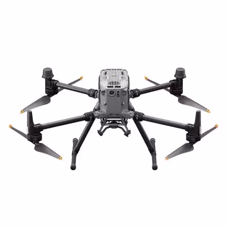
After consultation with Sphere Drones, the environmental consultancy selected the DJI Matrice 350 RTK platform paired with the Zenmuse P1 payload. The Matrice 350 RTK’s extended flight time and stable, high-resolution data capture allowed the consultancy to meet their demanding survey requirements efficiently.
The Matrice 350 RTK is a robust and adaptable drone platform equipped to handle extended flight times and long-distance surveying needs. Its features allow users to survey expansive areas in a single flight, improving efficiency while reducing on-site time.

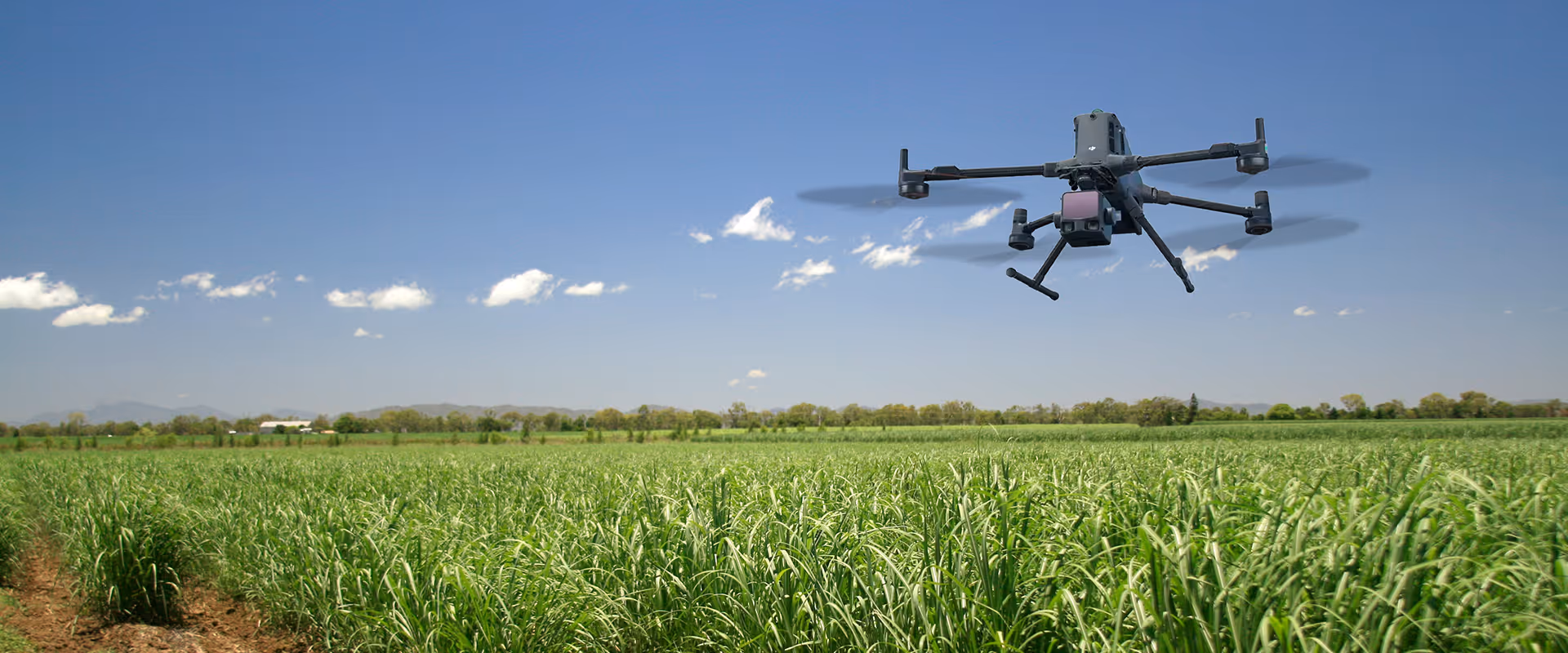
The environmental consultancy selected the DJI Zenmuse P1 for its exceptional photogrammetry capabilities, leveraging the full-frame mechanical shutter sensor to capture detailed imagery ideal for generating high-accuracy digital models and maps.
The Zenmuse P1 combines a full-frame sensor with interchangeable lenses on a 3-axis stabilised gimbal, offering a new benchmark for aerial surveying. Built for large-area mapping and modelling, it is perfect for precise, data-rich surveying work across vast landscapes.
To process and analyse the data from the P1, the environmental consultancy opted for DJI Terra. The software’s capability to process large datasets quickly enabled the team to create detailed topographic maps, orthomosaics, and 3D models with speed and precision while seemlessly integrating with DJI’s drones and payloads.
DJI Terra is a versatile mapping software solution designed for data processing, visualisation, and analysis. It enabled the consultancy to turn field data into actionable insights for environmental monitoring and land management projects.
Following the deployment of the DJI Matrice 350 RTK with the Zenmuse P1, the environmental consultancy achieved major operational improvements:
The environmental consultancy is now able to conduct surveys and monitor natural resources more efficiently, positioning them as a leader in sustainable land management and environmental protection within the Australian market.