The 2026 edition of our Confined Spaces Buyer’s Guide is now available, updated with the latest payload options, smarter workflows, and new case studies showing how real teams are using drones to work safer and faster.
Whether you're already flying confined space missions or planning to in 2026, this guide breaks down what matters; what to choose, why it works, and how leading organisations are applying the tech on-site.
What you'll learn
- How drones are being used in real confined space environments across Australia. From sewer networks to tanks, culverts, underground headings, and industrial plants.
- The benefits drones bring to inspections today, including improved safety, reduced entry requirements, faster workflows, and better-quality data.
- What to consider when choosing a confined space drone setup in 2026, including payload selection, flight endurance, power solutions, and reporting tools.
- A clear overview of the Elios 3 platform, including updated payloads (LiDAR, UT, Flammable Gas Sensor), new Smart Return-to-Home, and software options for mapping, reporting, and asset tracking.
If you’re reviewing your inspection approach for 2026, this guide gives you the essential information in one place. Just fill out the form to download your free copy and explore what’s now possible with confined space drone technology.
Sneak peak
Drones continue to transform confined space inspections by removing the need for internal access, scaffolding, shutdowns, and other high-risk or high-cost processes. They’re now widely used across sectors like mining, wastewater, manufacturing, oil & gas, and utilities to capture the data teams need without placing people in hazardous environments.
Here’s a snapshot of how different industries are applying the technology:
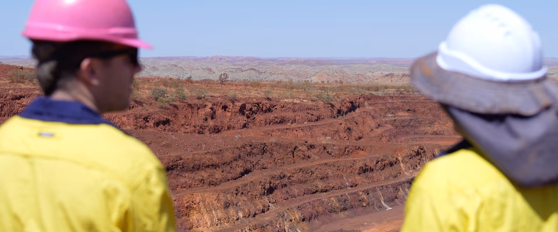
- Mining: inspecting stopes, conveyor belts, crushes, ventilation systems, and high wear components
- Oil & Gas: inspecting tanks, enclosed pipe runs, and pressure vessels for corrosion or leaks without sending personnel inside.
- Manufacturing: checking silos, boilers, and internal structures safely and efficiently.
- Energy & Utilities: assessing turbines, assets inside treatment facilities, and confined machinery spaces, all while reducing downtime and improving safety margins.
- Wastewater & councils: surveying sewer networks and culverts up to four times faster using drones, supported by high-intensity onboard lighting and SLAM navigation.
By combining safer workflows with detailed visual, LiDAR, UT, or gas detection data, drones are helping organisations reduce inspection time, improve asset visibility, and keep operations moving.