Flyability Elios 3 Cuts Downtime by 75% - Maps Flood Debris in One Shift
Author:
Jack Harkins
Published on:
June 20, 2025
At a Glance
When wild summer storms dumped tonnes of rubble into a ventilation shaft at an underground gold mine in North Queensland, the operators didn’t have time to muck around. They needed to know, fast, how much debris had come down, what kind of damage it had done, and whether it was safe to send crews back underground.
Brief
The geotech team needed a full 3D point cloud of a massive 70m x 50m void to get eyes on the state of the ventilation shaft, without putting anyone in harm’s way.
Key requirements
Full coverage of the entire void – tight corners, overhangs, the lot
No boots in the danger zone
Data delivered within the same shift to avoid unnecessary downtime
Live visuals on-site to make decisions on the fly
Existing method
The mine’s traditional methods were slow, risky, and unreliable. Crews were getting sent into dodgy areas with kit that barely did the job, and they still ended up with patchy data.
Here’s what they were dealing with:
Telescopic-pole scanner – Heavy, slippery in the mud, needed two people, still missed blind spots
Scanner on a rope drop – No control, no real-time feedback, and no way to tell if the data was any good until it was too late
It meant big lighting rigs, long setup times, and crews balancing on slick rock ledges next to 20-metre drops, all while getting coated in red mud. Not ideal.
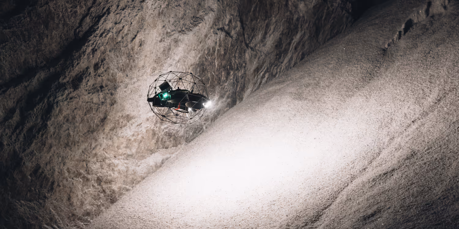
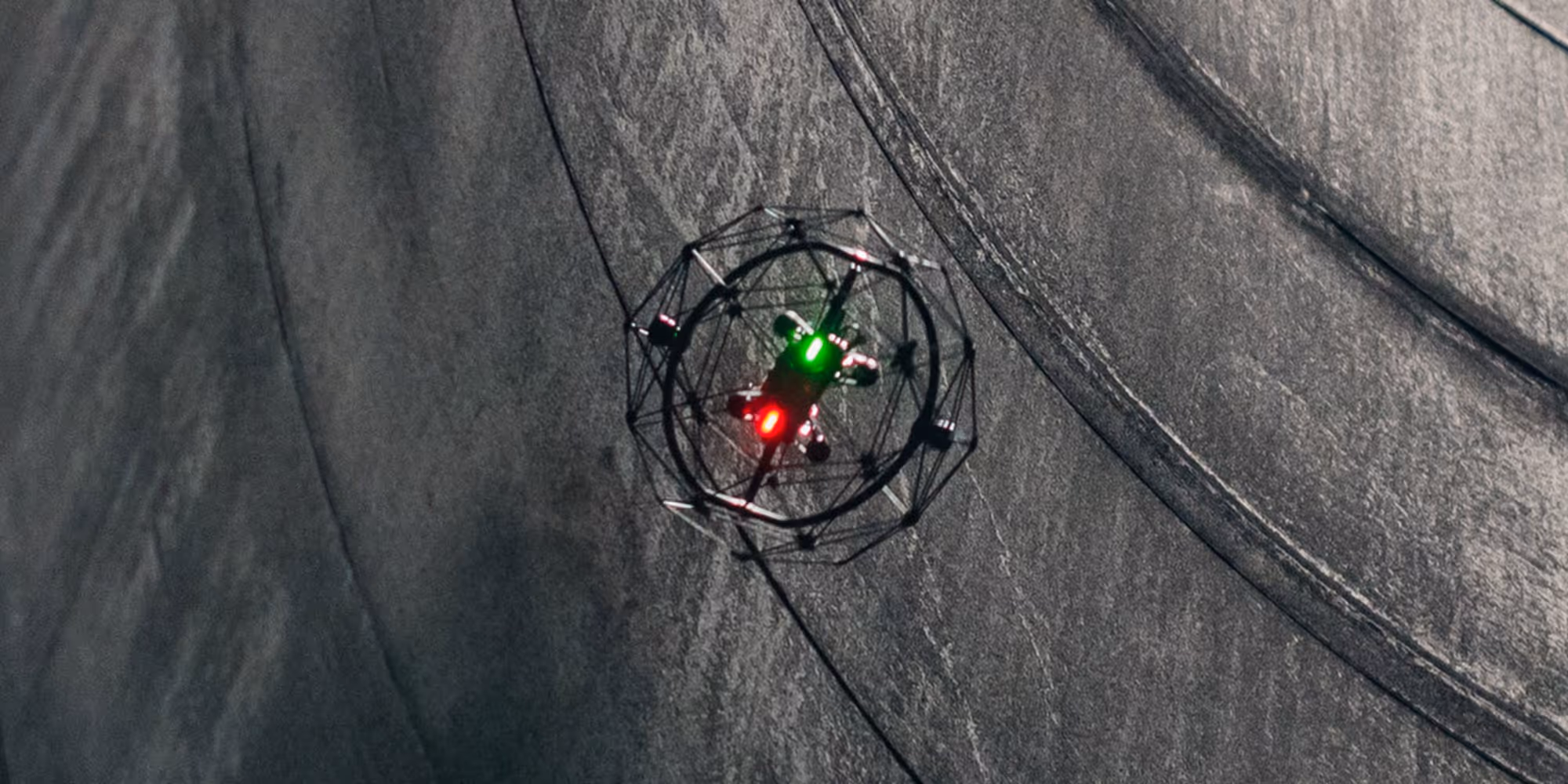
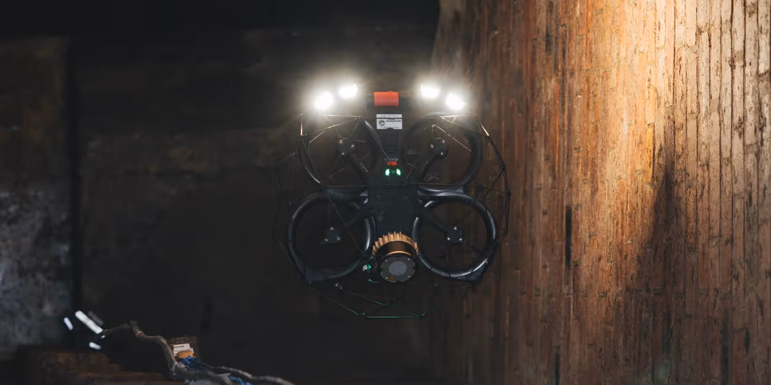
Elios 3’s cage is built to handle collisions and bumps, so it can fly confidently through tight, cluttered spaces.
Solution
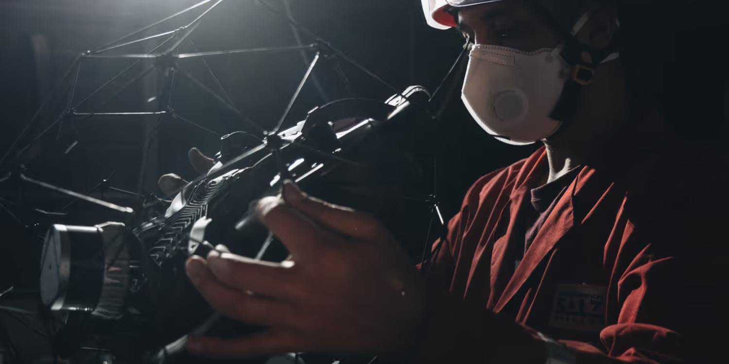
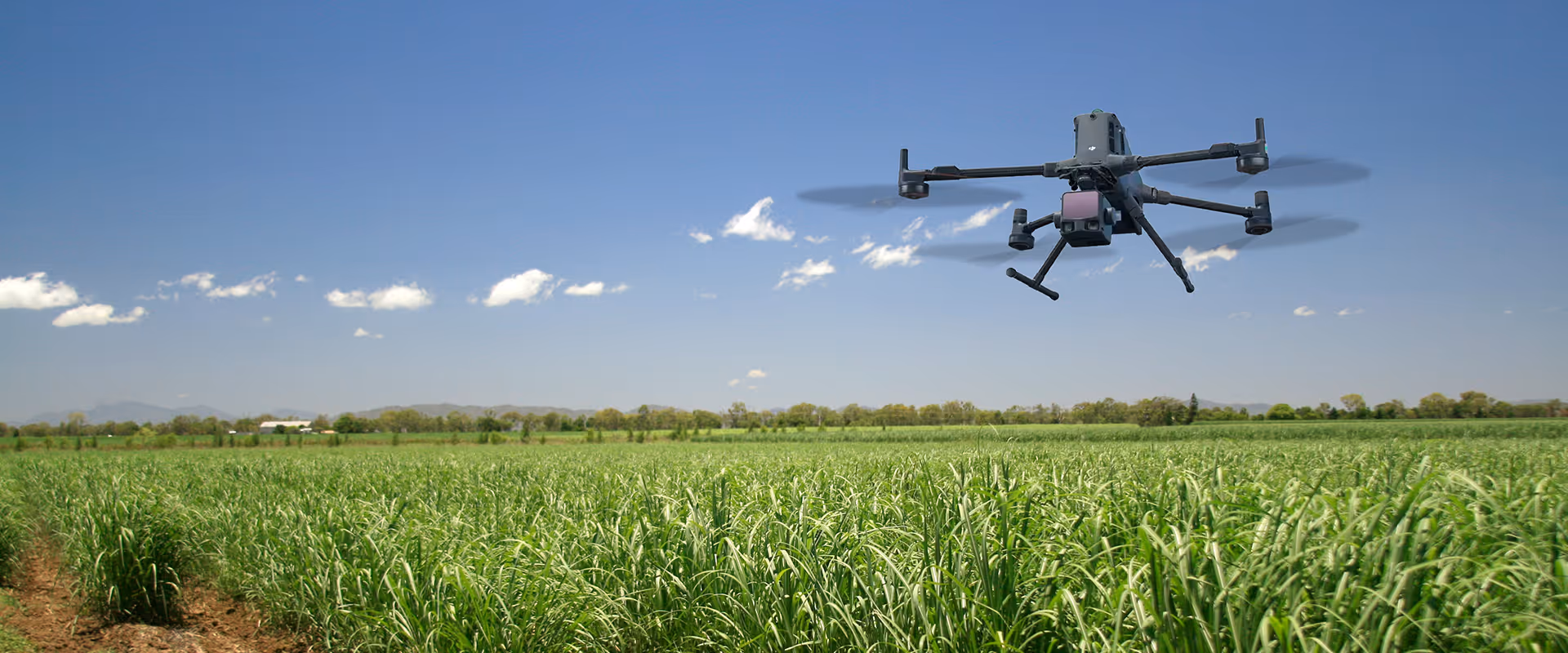
After a chat with our team, they landed on the Elios 3 from Flyability, fitted with the Surveyor payload. This setup ticked every box, fast, safe, and super high-quality data.
Hardware
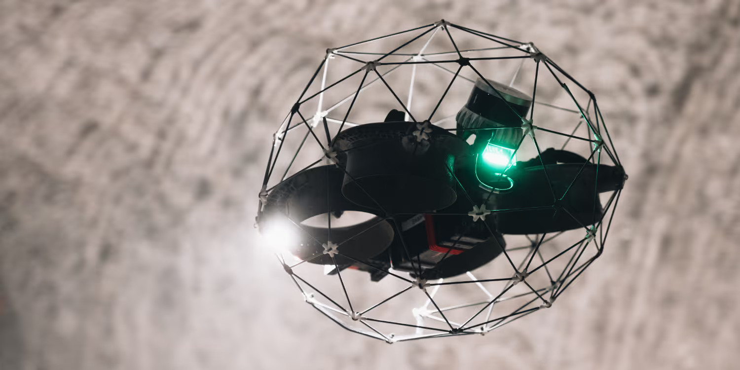
Flyability Elios 3 with Rev 6 LiDAR Survey Payload
Lightweight carbon-fibre collision cage – flies through mesh, wires, and tight spaces
16,000-lumen lights – cuts through dust and pitch black
Live 3D point cloud and 4K video streamed straight to the tablet
Tough build – IP44-rated body and IP68 LiDAR, made for damp, dirty conditions
Software workflow
Inspector 5 – Live LiDAR feed, quick tags and distance checks
FARO Connect – Clean-up, alignments, LAS export ready to go
Dual-tablet setup – second screen for engineers to mark hazards in real time
Elios 3’s Surveying Payload captures survey-grade data while flying in places no traditional scanner can reach.
Results
The Elios 3 with Surveyor payload delivered exactly what the site needed: fast, high-quality data without risking boots on the ground. The team captured a full, high-res point cloud of the entire void, including overhangs and tight choke points, all within a single shift.
"Seeing the debris source instantly on the tablet meant we could plan support without sending anyone over the edge."
- Mine Geotechnical Engineer
Impact
What it means on site
6-hour turnaround from mobilisation to usable point cloud
Pole and rope methods usually took 2–3 days, this was done before knock-off
100% void coverage
Overhangs and tight choke points now part of the model