Related products

Acecore Technologies
Acecore George Herelink
A$3,430.35
Enquire now
Acecore Technologies
Acecore George Herelink
A$3,430.35
Enquire now
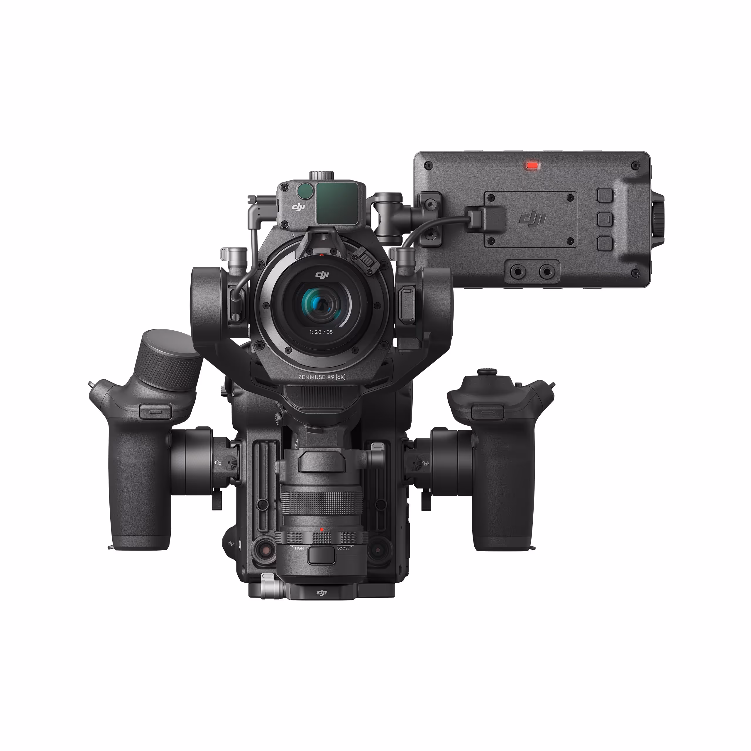
DJI
DJI Ronin 4D 4-axis Cinema Camera 8k Combo
A$14,889.00
Enquire now
DJI
DJI Ronin 4D 4-axis Cinema Camera 8k Combo
A$14,889.00
Enquire now


SPH Engineering
Drone Show Software (DSS) Standard Package Licence
A$38,500.00
Enquire now
SPH Engineering
Drone Show Software (DSS) Standard Package Licence
A$38,500.00
Enquire now

SPH Engineering
RadSys Zond Aero LF GPR system
A$34,100.00
Enquire now
SPH Engineering
RadSys Zond Aero LF GPR system
A$34,100.00
Enquire now


Collections: