Price match enquiry
Cutting-edge drone solutions designed and engineered by our in-house engineering teams, for businesses, enterprises and government.
Deploy anywhere. Capture data everywhere.
Deploy remote data capture faster, with fewer site constraints.
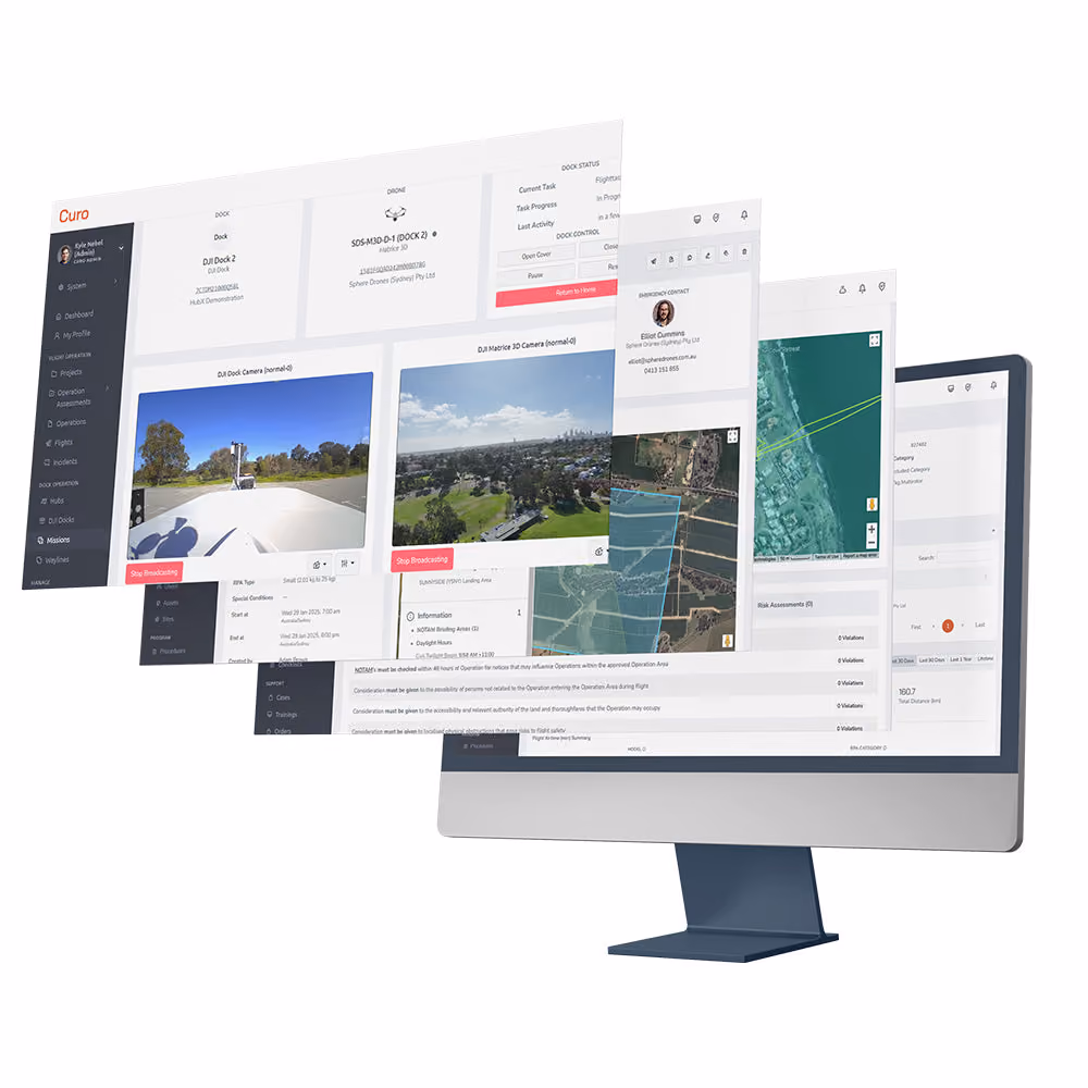
One software platform for drone governance, live operations, and data delivery.
With extensive industry experience, our solutions specialists can walk you through your options in a quick 15-minute discovery call.
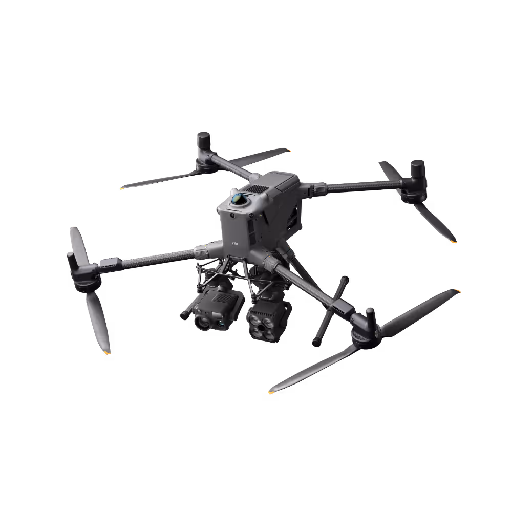
A smart, compact drone packed with advanced tech to tackle tough jobs.
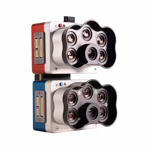
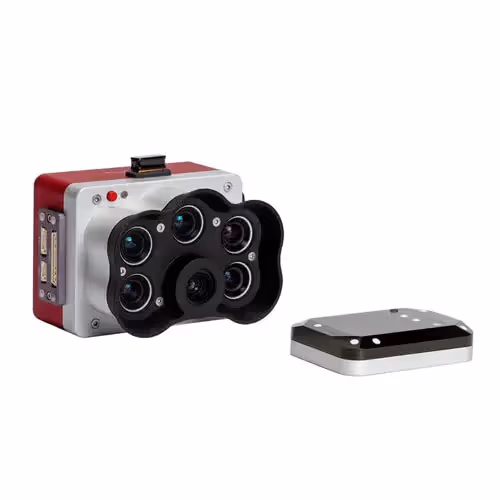
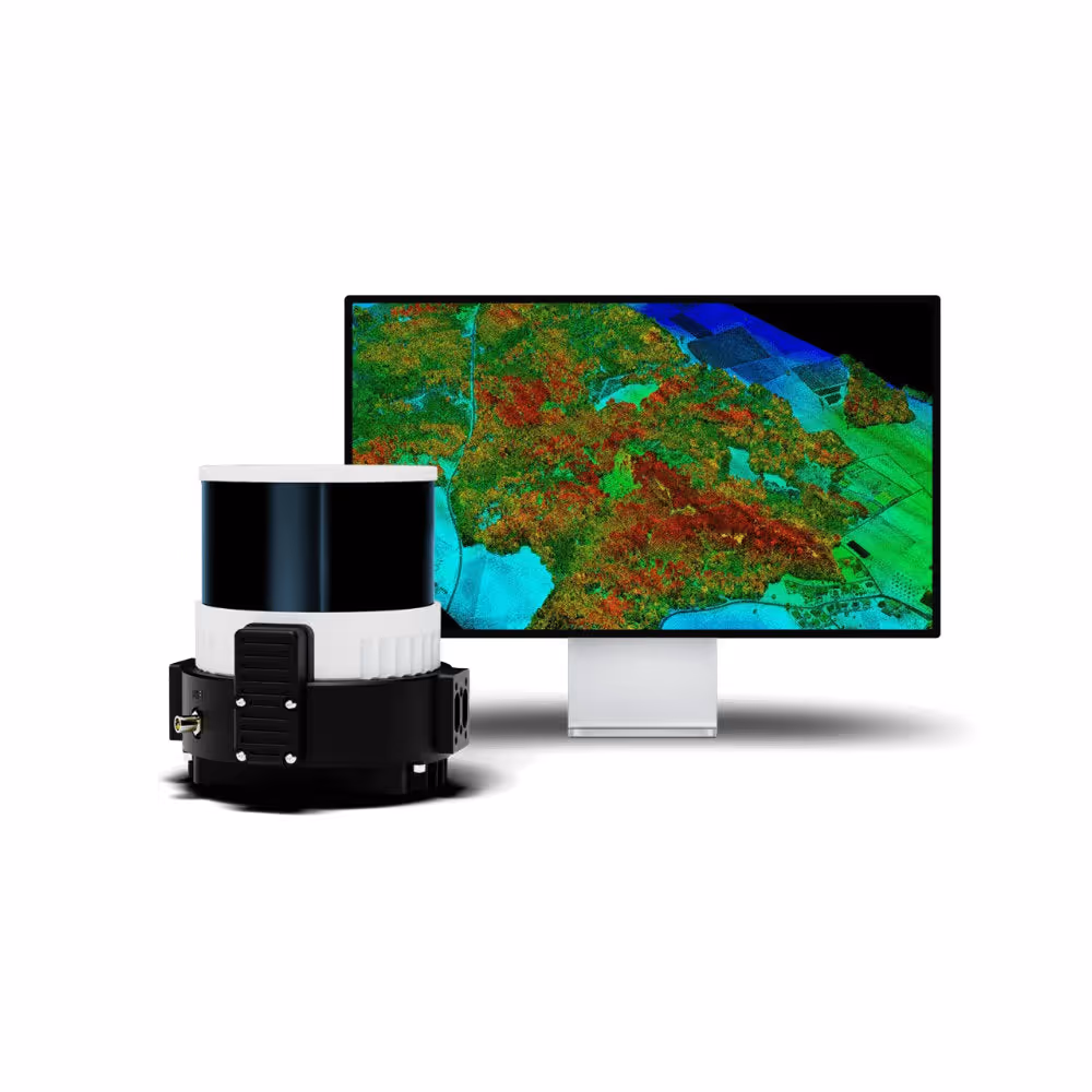
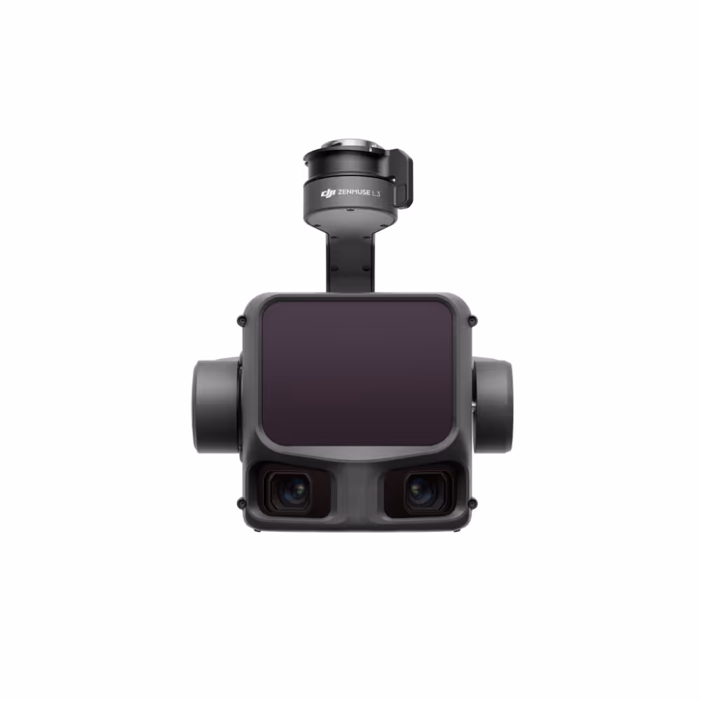
Survey-grade LiDAR and dual 100MP cameras in one payload, mapping up to 100 km² of terrain in a single day.
Enterprise drone management simplified - so you can focus on flying, not paperwork.
Run compliant remote and BVLOS operations from anywhere, with full situational awareness and compliance.
Professional and hassle-free repair solutions to keep your equipment operational and compliant, Australia wide.
Cutting-edge drone solutions for businesses and enterprises.
All the drone services you need, wherever you are.
Get your team flying with confidence through our expert training programs.
Keep your equipment compliant, safe & ready for action with expert support.
Professional & hassle-free repair solutions to keep your equipment operational & compliant.
Trial world-class drones & payloads with flexible rentals.
Fly smarter with our free Airspace Advisory tool.
Our compatibility charts make it easy to find the perfect drone and payload match – no guesswork, just fly.
Dive into our webinars to stay updated on the latest drone tech, insights, and trends – anytime, anywhere.
Join us at upcoming events to experience the latest in drone tech, meet industry experts, and connect with like-minded professionals.
Two Weeks to Two Days: Surveying 3,800 Hectares of Queensland Sugarcane with the DJI Matrice 400
Yancoal: Accelerating BVLOS Operations with Broad Area Approval
Glencore & United Wambo - Relieving the pressure on survey teams with HubX
Faster and Safer Powerline Inspections with DJI Zenmuse H30T
Queensland Consultancy elevates Topographic Mapping & Geological Exploration with DJI Zenmuse P1
Boosting Surveying Efficiency in the Energy Sector with the DJI Zenmuse L2
Discover how drones and data can transform your business with our free Use Case tool.
Our experts will help you find the right solution for your business.
Dive into the data you can achieve with drone solutions.
Explore the basics of implementing a DiaB into your work.
We dive into DJI’s latest Drone-in-a-Box solution, the Dock 2.
Proudly Australian, serving businesses, enterprises and government.
A team of people who are experts in drones, data, and delivering the right solutions for you and your business.
Explore our journey and see how we’ve shaped the industry.
Shipping calculated at checkout
Cutting-edge drone solutions for businesses, enterprises and government.
Sphere
Enterprise drone management simplified
Empowering businesses with cutting-edge drone solutions.
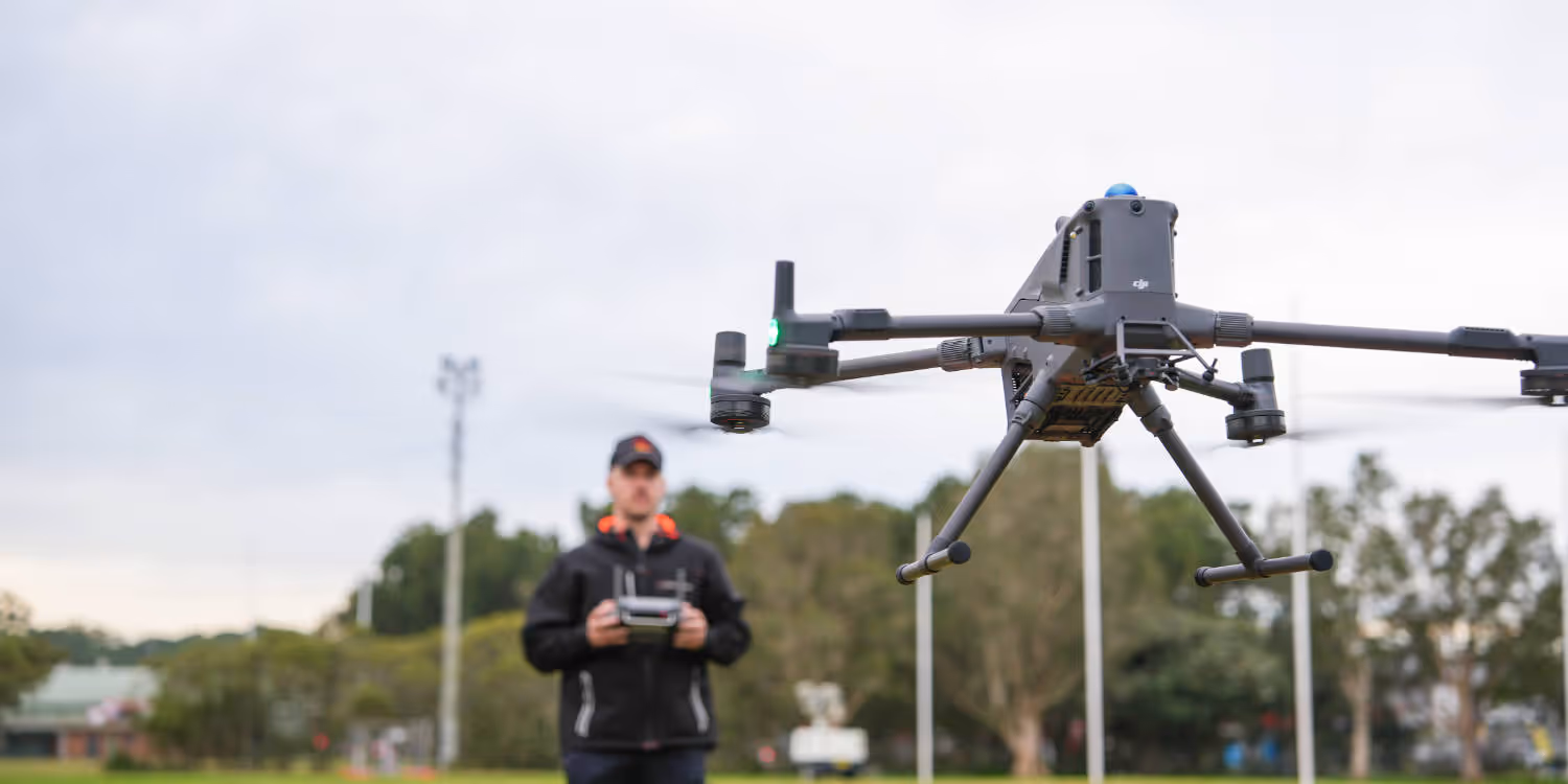
DJI
Powerful LiDAR and RGB payload for surveying and mapping
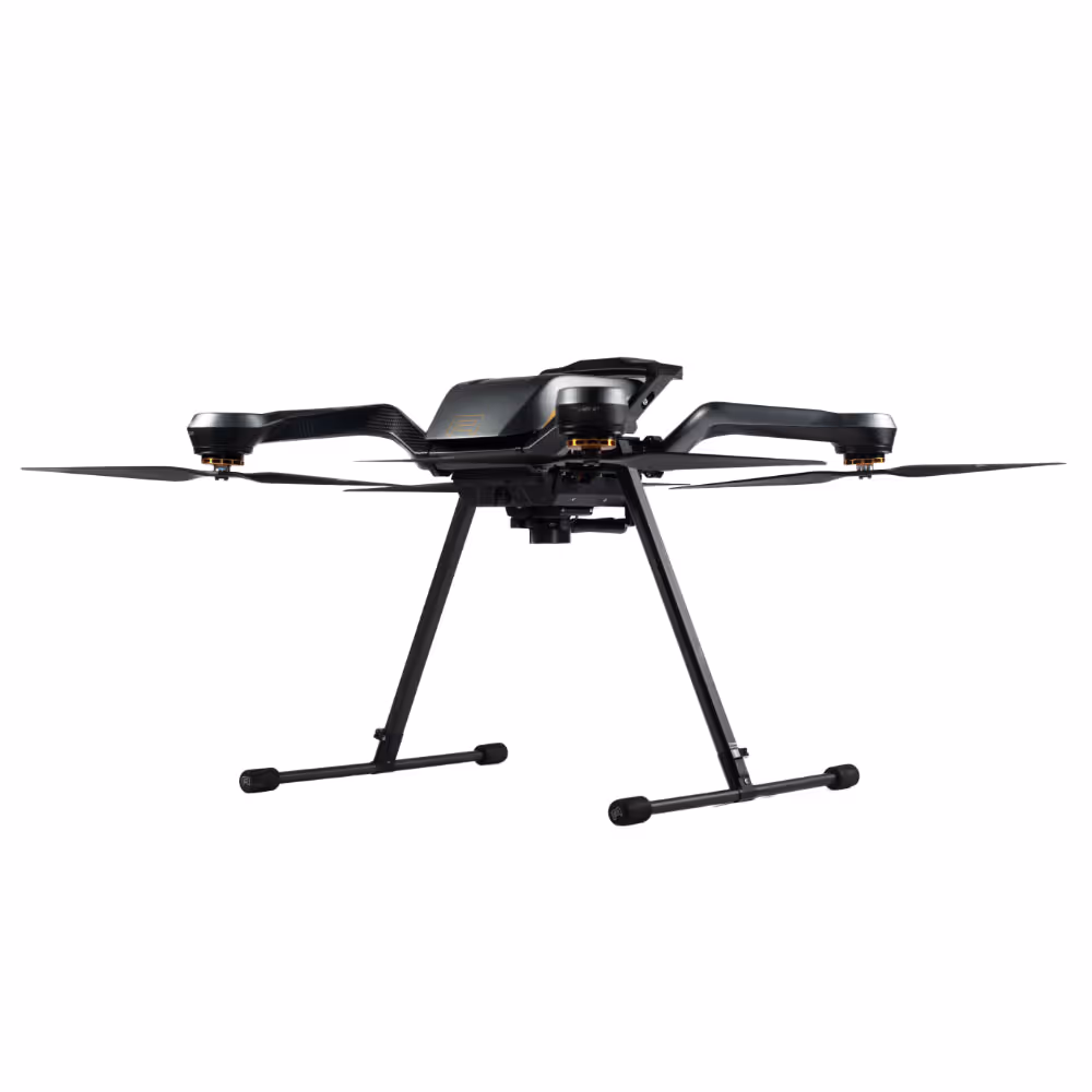
Heavy-lift drone for emergency response, inspections, surveying
Highly adaptable drone-in-a-box system for surveying and inspections
With Sphere’s rental service, you can try out the latest tech without any risk or long-term commitment.
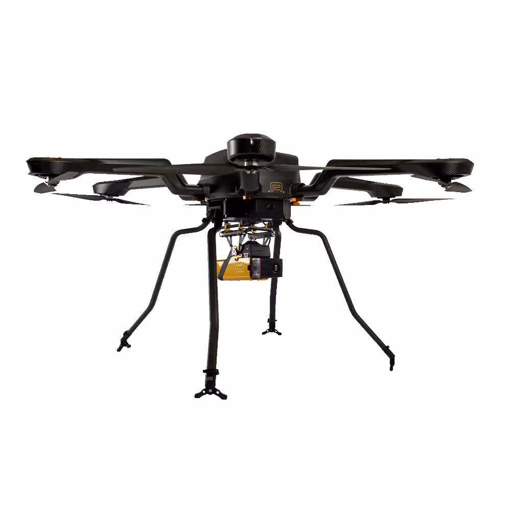
Heavy-lift drones built for precision and power.
Acecore Technologies
Compact, tough and precise with more flight time
Extended flight time for heavy payloads
High-endurance industrial drone
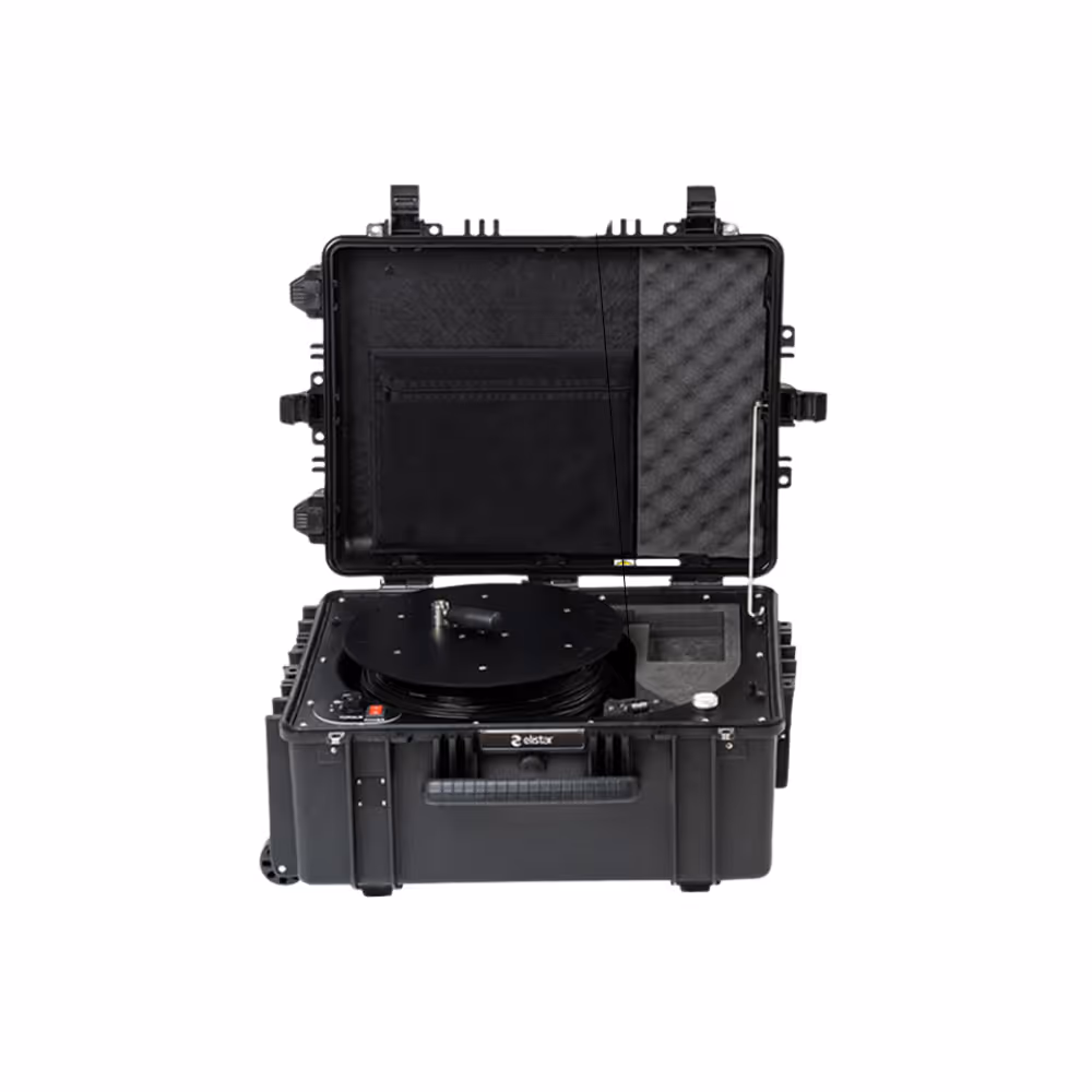
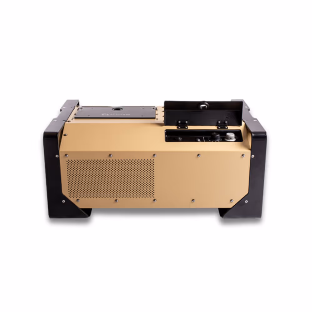
Tethered drone solutions for continuous, secure operations.
Elistair
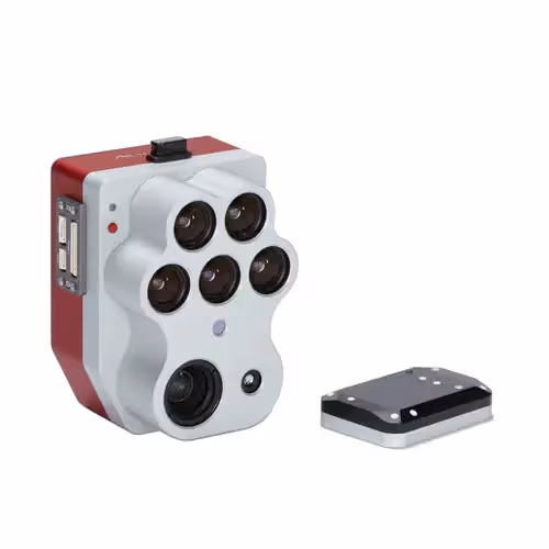
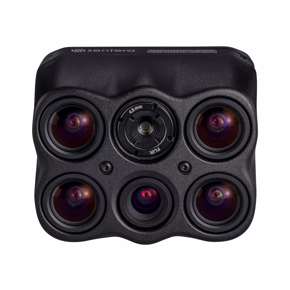
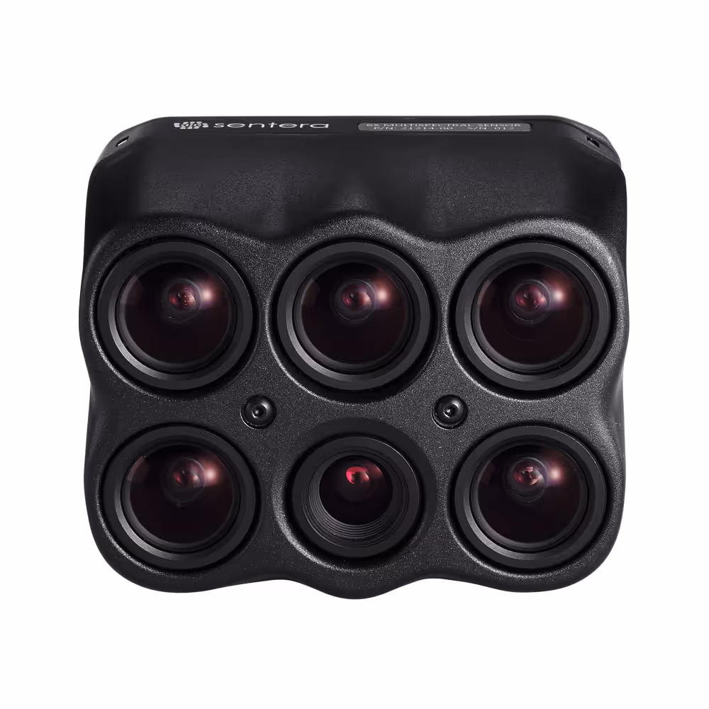
Precision multispectral imaging for informed agricultural decisions.
MicaSense
Precision sensors and analytics for agricultural excellence.
Sentera
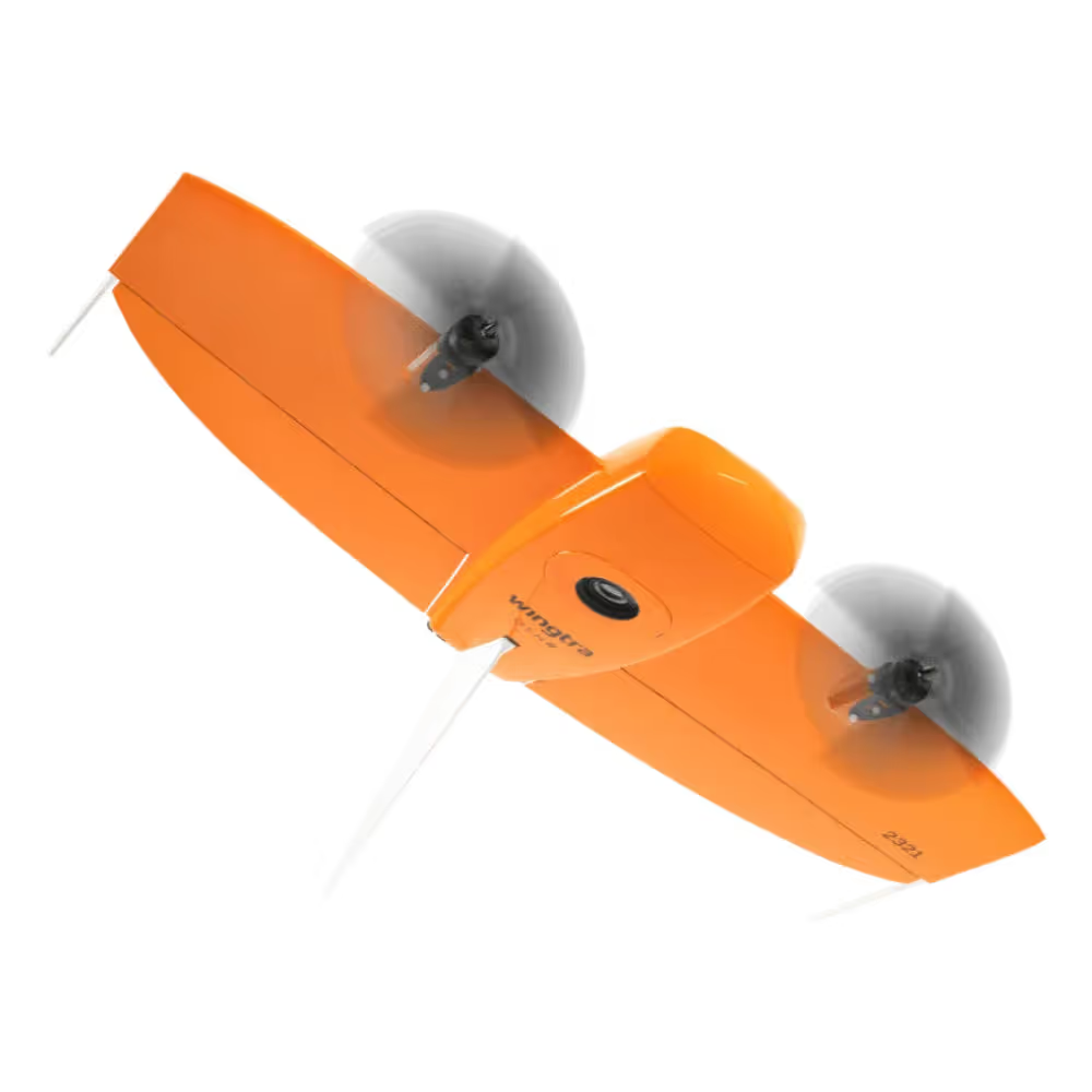
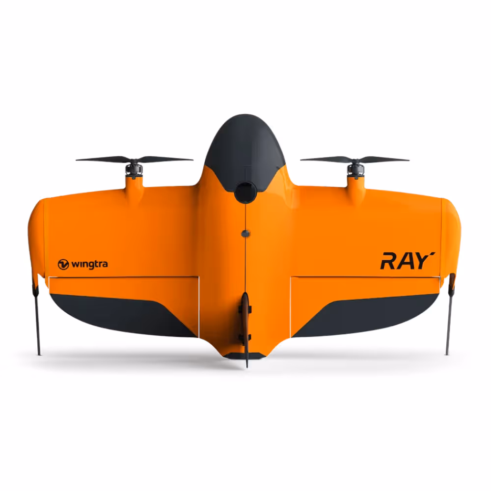
High-precision VTOL drones for large-scale surveying.
Wingtra
Precision drone for large-scale mapping & surveying
GIS software for mapping and spatial analytics.
Esri


.avif)