A major utility contractor in New South Wales conduct power line inspections with both helicopter surveying and ground-based methods, which took time and was expensive. They needed a more efficient and safer solution for inspecting power lines and energy assets across a remote and rugged landscape.
The major utility contractor’s existing methods for inspecting power lines involved helicopter surveys and ground-based teams, both of which were time-consuming, costly and posed significant safety risks. They needed a drone solution that could provide detailed visual and thermal data for preventative maintenance and fault detection over vast distances.
Key requirements included:

Previously, the utility contractor relied on helicopters and ground crews to inspect power lines, which proved inefficient and dangerous, especially in remote or high-risk areas.
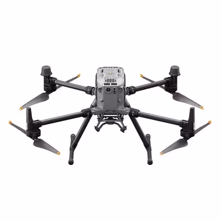
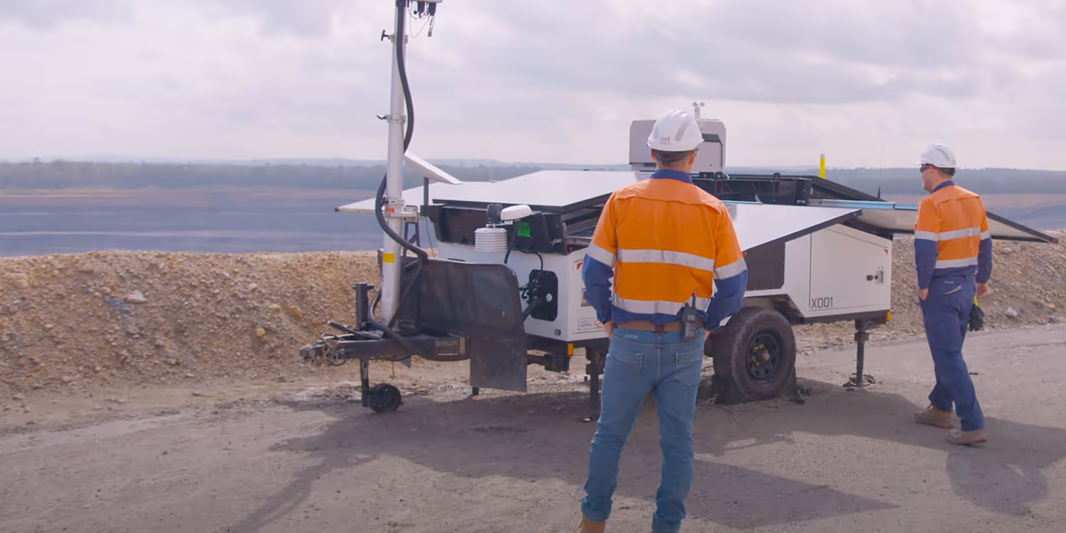
After consultation with the experienced Sphere Drones team, the utility contractor selected the DJI Matrice 350 RTK as the drone platform of choice. The M350 RTK provided the long flight times, transmission range, and weather resilience required to cover vast sections of their powerline network.
The DJI Matrice 350 RTK is an advanced drone platform that redefines industry standards with its cutting-edge technology and versatility. Featuring an upgraded video transmission system, enhanced control experience, and a more efficient battery system, making it ideal for extended and demanding operations.
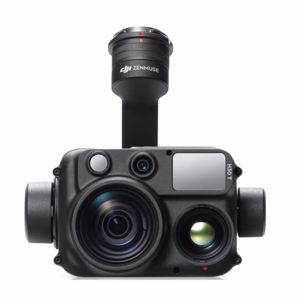
For detailed thermal and RGB data capture, the DJI Zenmuse H30T payload was the perfect fit. Its combined high-resolution zoom, wide-angle camera, and high resolution thermal capabilities enabled the team to spot issues such as overheating conductors, damaged insulators, and other infrastructure problems without the need for close-range inspections.
The H30T payload offers the perfect balance of thermal imaging and high-quality RGB, making it an ideal tool for powerline inspections. Its 400x hybrid zoom allows for capturing fine details from a safe distance, while the thermal camera can identify heat-related issues on the power delivery infrastructure.
The customer integrated DJI Terra into their workflow for processing and analysing the data collected from the M350 and H30T. DJI Terra’s ability to handle both thermal and visual data enabled the utility contractor to generate detailed inspection reports quickly and accurately.
DJI Terra facilitates rapid post-processing of the visual and thermal data collected during the inspections, enabling users to generate 3D reconstructions and detailed orthomosaic maps. This allows teams to identify problem areas on power lines with greater accuracy and plan maintenance accordingly.
Following the deployment of the M350 RTK and Zenmuse H30T, the utility contractor was able to streamline their inspection process significantly, saving them time, costs and improving safety for their staff. The combination of long flight times, high-resolution thermal and visual data, and real-time feedback allowed the company to identify issues more efficiently while reducing the need for manual inspections.
Key improvements include: