
Drone technology has come a long way in recent years, but one of the biggest headaches has remained: the manual handling of raw aerial data. Even with automated flights, imagery often needs to be downloaded, transferred across devices, and processed by hand before it becomes usable.
That changes today.
Sphere and Esri Australia have joined forces to integrate Site Scan for ArcGIS® with Sphere’s HubX and HubT systems. The result: a fully automated workflow that moves drone data seamlessly from capture to cloud.
Flights launch from DJI Dock 3, flow through HubX or HubT, and into Curo, Sphere’s remote operations software. From there, data is automatically pushed into Site Scan, where it’s transformed into ready-to-use cloud products and delivered to stakeholders.
No manual handling. No delays. Just trusted data flowing straight to the right people.
As Sphere CEO Paris Cockinos puts it:
“By integrating our HubX and HubT systems with Site Scan, drones can now capture data automatically and, within minutes, it’s available in Site Scan ready for decisions. No manual handling, no delays. Organisations can focus on outcomes, confident that the insights they rely on are flowing seamlessly to the right people.”

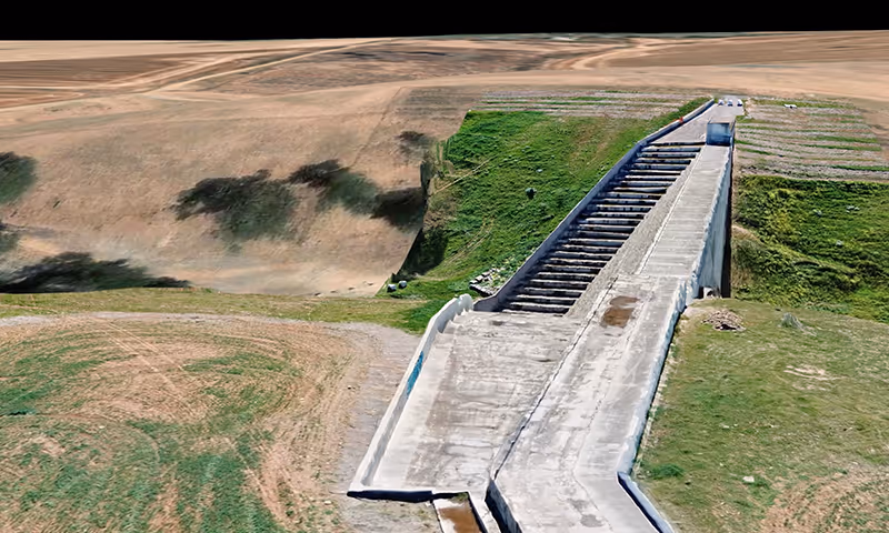
Industries like mining, utilities, civil construction, and forestry rely on aerial data every day. But the way data has traditionally been managed costs time, money, and in many cases, increases safety risks.
With this new integration, drones can launch missions from DJI Dock 3, with flights monitored through Sphere’s Curo remote operations software. The captured imagery then flows directly through HubX or HubT into Curo and into Site Scan, where it’s automatically transformed into cloud-based maps, models, and insights ready to use.
Esri Australia's Managing Director Brett Bundock adds:
"Our collaboration with Sphere empowers organisations with smarter workflows. By automating the entire drone-to-cloud process, we’re helping customers unlock insights and value faster, reduce risk, make confident, informed decisions."

For Sphere, this partnership reinforces its role as Australia’s leading provider of drone-in-a-box technology, while reflecting its broader mission to help organisations respond to challenges and opportunities with innovative drone solutions. By combining advanced integrations like this one with a team and technology built to push beyond the horizon, Sphere continues to deliver outcomes that are smarter, safer, and more impactful for customers.
For Esri Australia, it marks a significant milestone in automated geospatial intelligence, unlocking the full potential of drone data from capture to cloud with unmatched speed and simplicity.
Looking ahead, customers can expect continued innovation in automation, AI, and BVLOS capabilities as the collaboration expands. With Sphere’s Curo platform evolving, the partnership closes the loop on remote operations and sets a new benchmark for aerial intelligence in Australia.
Want to learn more about this partnership or our Hub solutions? Our experts are here to help. Call us on 1800 119 111 or send us an enquiry to explore how it could work for you.