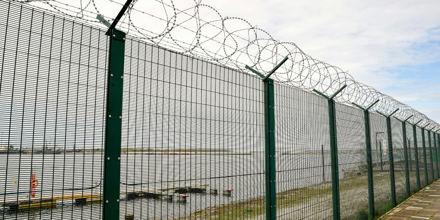
Stopes have to be inspected, and no one should have to walk into one to do it. Once ore is drawn, the void is unstable and loose material can come down without warning. Confined-space drones let you inspect the stope from a safe standoff and come away with better data than a person on the ground could gather.
The pilot launches from the drawpoint or access drive and flies the drone up into the void. A LiDAR module maps the space in three dimensions as the flight progresses, so the pilot can see the flown path on the controller and backtrack out without guesswork. That same scan becomes the deliverable: a point cloud of the stope you can measure for volume, compare against the mine plan, and check for overbreak or unexpected geometry.
The RGB camera and lighting system give a live view for spotting problems as they appear. Anything that looks wrong gets flagged during the flight rather than discovered weeks later.
.jpeg)