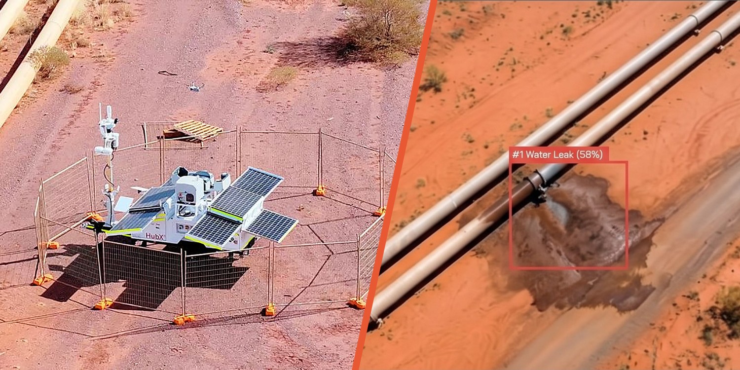
A large mining operation in remote Australia used to send crews to drive its 460 km dewatering pipeline corridor looking for leaks. It no longer does. Six HubX® drone-in-a-box units now fly the corridor every day, piloted from Sphere's Remote Operations Centre. CuroAI flags the leaks in CuroInsights.
Findings reach the water-management team by midday, and in September 2026 the operation confirmed it had ceased manual inspections of the corridor entirely.
The mine sits below the water table. Keeping the pits dry means pumping hypersaline groundwater from dewatering bores through 460 km of overland pipe that crosses undisturbed land.
Salt water kills the vegetation it reaches and sterilises the soil. The damage grows for every hour a leak flows, and each event is reportable under the site's licence conditions. A leak found on day one and a leak found on day ten are very different outcomes, and with periodic drive-by checks a leak could run for as long as the gap between visits.
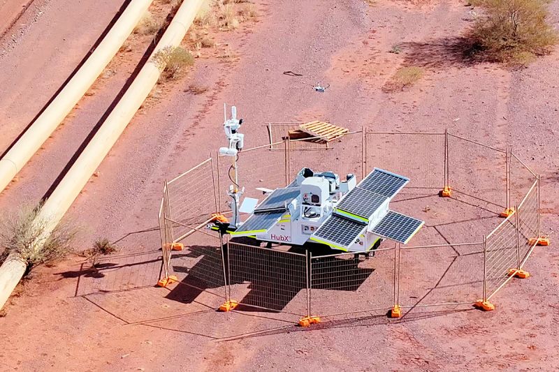
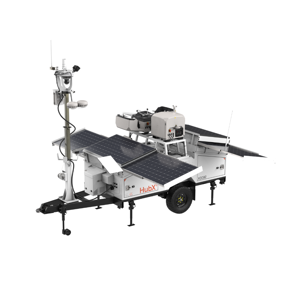
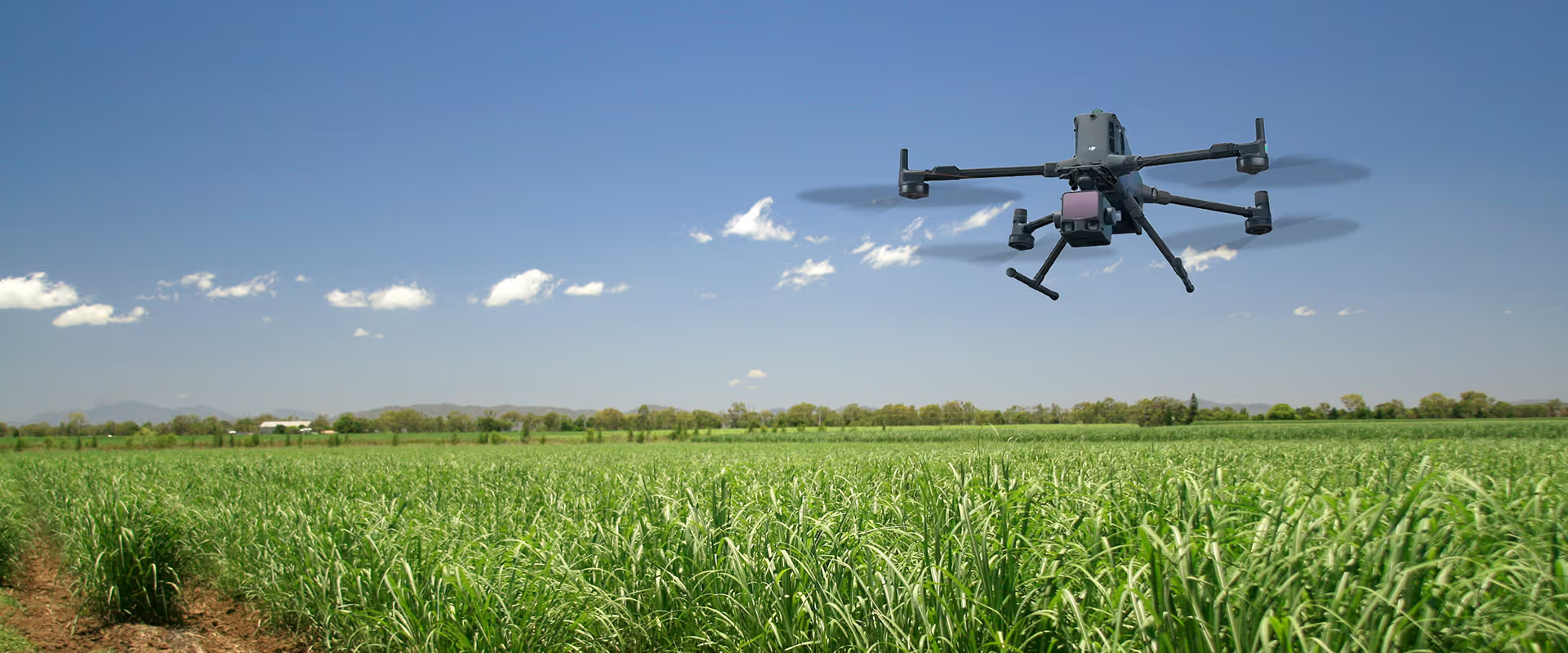
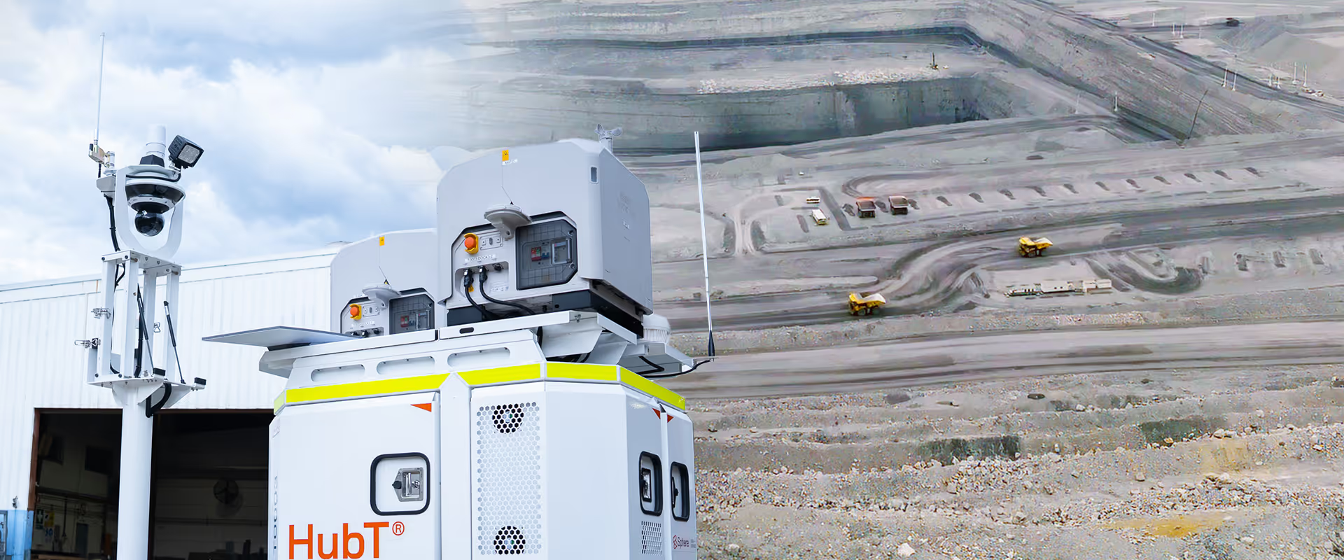
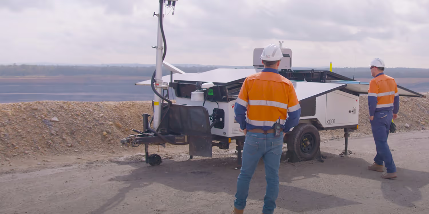
Six solar-powered HubX units sit along the pipeline, each with two docked aircraft carrying RGB and radiometric thermal cameras. They need no permanent crew, grid power or road access once placed. Every flight is flown beyond visual line of sight (BVLOS) from Sphere's Sydney-based Remote Operations Centre under our CASA ReOC, with Curo® as the system of record. Together the hubs capture around 15,000 images of the corridor a day.
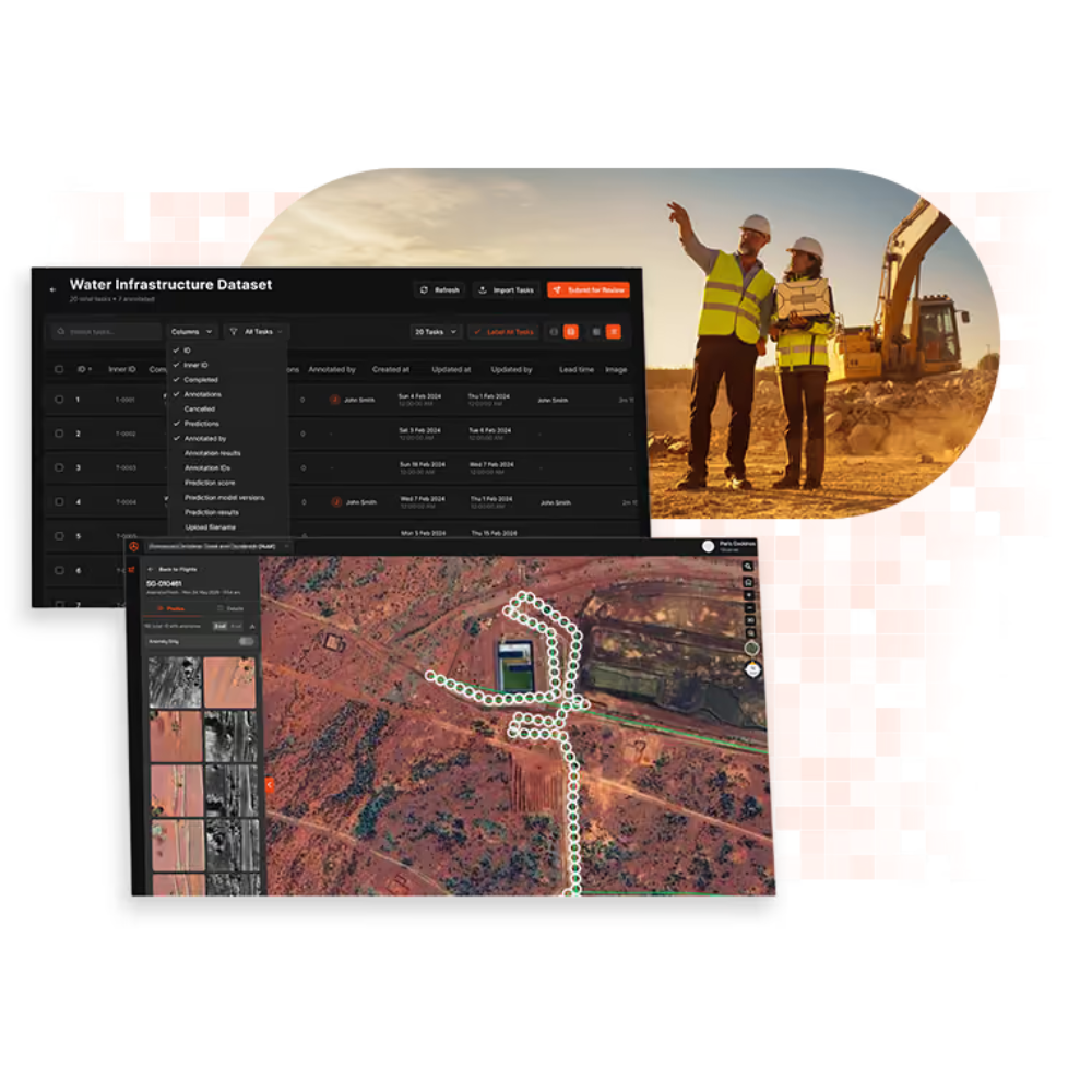
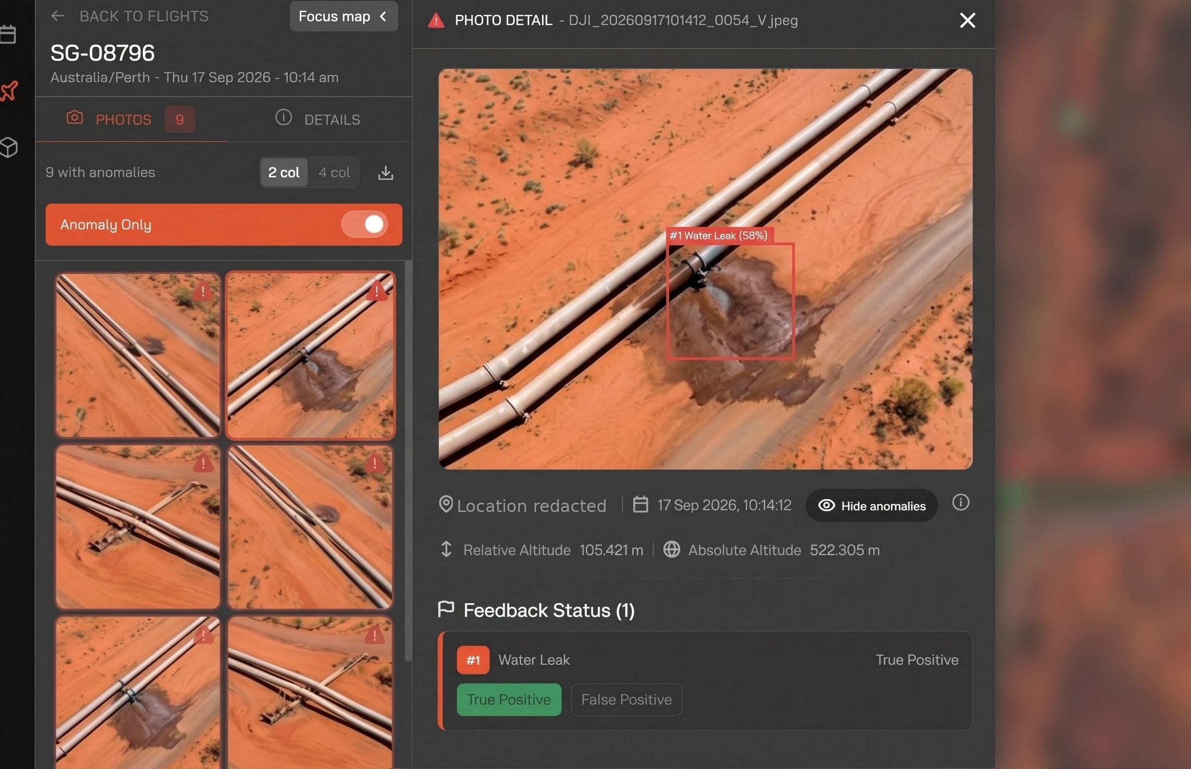
CuroAI is Sphere's first production AI model, trained on real imagery from this corridor. It scans every image and posts detections to CuroInsights with a location and confidence score, and the daily report lands with the water-management team by 12:00 AWST so a crew can be tasked that afternoon. The operation tests the model with controlled releases, deliberately opening valves to check it still catches a leak, and site crews confirm each detection. That feedback is what teaches the model to tell a new leak from rain, an old repair or a salt pan.
Pre-dawn thermal flights cover the dark hours. The water-filled pipe sits several degrees warmer than the ground around it, so the pipe and any soaked ground stand out against a cold corridor. Major overnight events can be flagged without sending anyone out to walk the line.
"The work done by the Sphere team has allowed the client to cease manual inspections entirely."
The gain that matters most is environmental. Same-day reporting caps any leak at hours of flow rather than days or weeks, which means less land exposed to salt water and less remediation owed afterwards. Crews now repair against the imagery, and every event sits on the record for the regulator. In a 10-day review window the hubs flew every scheduled day and logged 89 flight hours, with zero airspace breaches. All imagery is stored in Australia.
CuroAI already knows what a leak on a saline pipeline looks like, so standing up the same service elsewhere is mostly deployment rather than development: map the corridor, place the hubs, extend the airspace approvals, and tune the model to your ground with controlled releases. Expect useful detection in weeks rather than quarters, provided your crews keep confirming what the model finds. That feedback loop is what made it work here.
If you would like to find out how HubX and CuroAI could monitor your corridor, get in touch with our team or give us a call on 1800 119 111.
Customer identity, site details and commercial terms are withheld at the customer's request. Figures are rounded.