Nov
12
2026
Automated drone capture won't shrink survey's workload. It moves it up the value chain. See what 8,000+ hub flights across 13 operations tell us.
Uber made rides cheap and easy to book. People didn't keep taking the same number of trips. They took far more, including trips they'd never have bothered with before.
Survey is heading the same way. Most departments on a mine site ask for the data they think they can get, not the data they'd actually use. Once capture is remote and automated, that hidden demand turns into real requests, and they all land on survey.
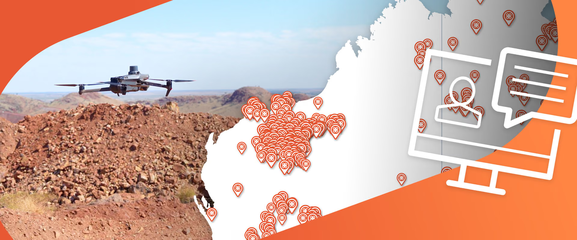
In this session, Sean Greenberg uses more than 8,000 flights across 13 customer operations running Sphere hub systems to show what happens to a survey team when field time stops being the limit. The short version: the work doesn't go away. It moves up the value chain, and survey becomes the site's authority on spatial data.

This webinar is BOSSI-accredited. NSW surveyors earn CPD points while learning about the latest drone advancements and regulations. Join live or catch the replay, our expert team will cover everything you need to know.
SP 0.25 DM3
SP 0.25 DM3
Watching the replay
This webinar suits mining professionals who produce or rely on spatial data, including:

Commercial Director
Sean leads enterprise sales and customer success for Sphere’s remote drone operations across mining and energy. He joined Sphere in 2025 after more than four years selling drone-in-a-box systems to industrial sites in the US and Europe.