
Let’s break it down.
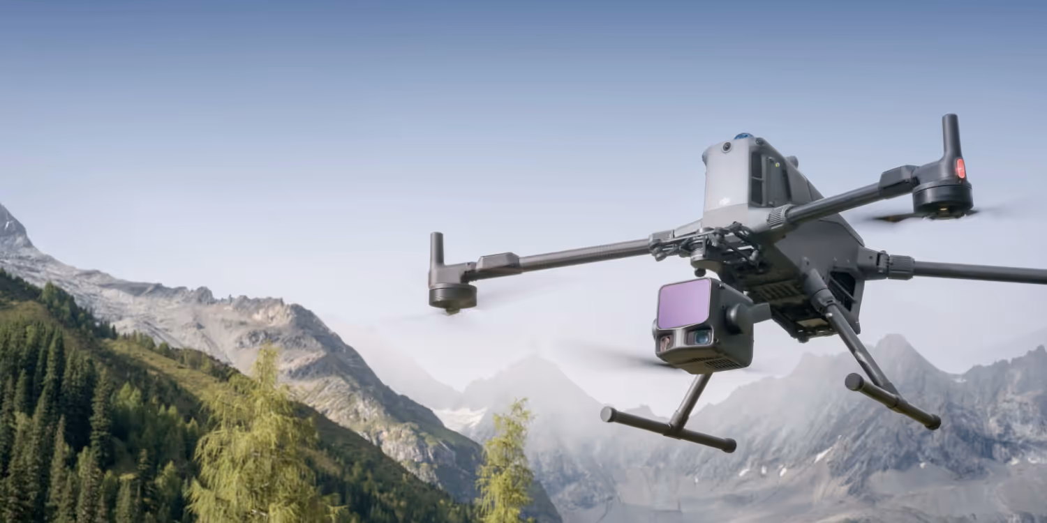
The DJI Zenmuse L3 is more than just an incremental update to the L2, it’s a completely re-engineered system that pushes both range and accuracy into new territory.
Where the L2 was already impressive with 2 cm ranging accuracy and up to 450 m detection, the L3 now brings 2 km maximum range, higher pulse rates, and a new dual-camera RGB mapping system with a massive 107° combined field of view.
For Australian operators covering large mining tenements, power corridors, or forestry blocks, that’s a serious leap in efficiency.
The shift from 905 nm to 1535 nm wavelength is one of the most significant upgrades. This puts the L3 firmly into eye-safe Class 1 infrared, while boosting penetration through vegetation and atmospheric conditions, ideal for rugged Australian environments.
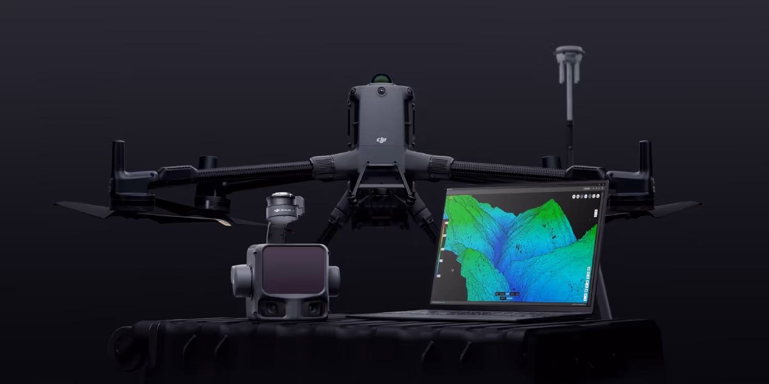
With up to 2 million points per second and 16 returns, the L3 delivers incredibly dense point clouds. That’s a big win for vegetation modelling, powerline inspections, and terrain mapping in bushland or open-cut mines.
DJI didn’t just upgrade the laser module, they completely reworked the mapping camera system.
The dual RGB cameras on the L3 merge images with a 45° optical axis angle, producing a 107° horizontal FOV. That means better coverage and fewer passes, cutting flight times for large-area surveys.
The jump to 100 MP capture, or 25 MP selectable mode delivers survey grade imagery that pairs beautifully with LiDAR data in DJI Terra or DJI Modify for feature extraction and 3D modelling.

The L3 is heavier and more power-hungry, but that’s expected given the dual cameras and advanced LiDAR package. It’s designed exclusively for the Matrice 400, leveraging its improved payload power and stability.
For Australian operators still running M300s or M350s, that means an aircraft upgrade is part of the package.
And thanks to its IP54 rating and -20°C to 50°C range, it’s well-suited for Australia’s dusty outback conditions and coastal humidity alike.
If your operations are already running an L2 and M350 RTK, the L3’s jump in range, data density, and imagery makes a compelling case, especially for enterprise-scale work where every minute of flight time and every centimetre of precision counts.
However, because it’s M400-exclusive, the upgrade path will suit operators planning to modernise both payload and platform in one go.
Bottom line: The Zenmuse L3 isn’t just an evolution, it’s DJI’s move into true high-performance airborne LiDAR, purpose-built for professional mapping and remote operations.
For Australian surveyors looking to future-proof their LiDAR capabilities, the L3 is the new benchmark. Get in touch with our team today to explore your upgrade options and available packages.

