GeoSLAM Connect has received an update, improving the georeferencing workflows and opening new ways to automatically georeferenced data captured on the Flyability Elios 3.
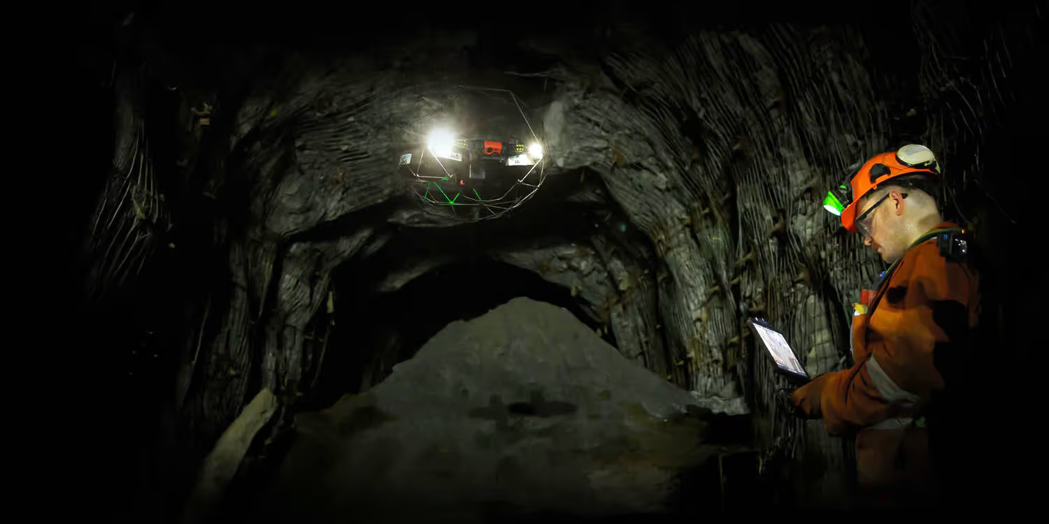
Data captured by Flyability's Elios 3 can now be georeferenced using reflective targets placed on location. This georeferencing can be done automatically in GeoSLAM connect with a click of a button. This comes as a welcomed addition for customers that can't stop their Elios 3 mid-flight.
Alignment and merging of data using the same reflective targets across multiple scans is the second addition to GeoSLAM Connect 2.3. This feature comes as a welcome addition for those wanting to align a number of datasets from a large site or those wanting to carry out the same scans over a time period.
This feature is available to Elios 3 customers with a GeoSLAM Connect Surveying Package.
My GeoSLAM accounts are now accessible from within GeoSLAM Connect, allowing for easier access to the Acadamy and Knowledge base resources. A prompt to create an account is also shown when activation a new licence in the Licence Manager Tool.
GeoSLAM has made improvements to the Manual Alignment Tool, released in v2.2, which include UI and stability updates.
Source: Flyability