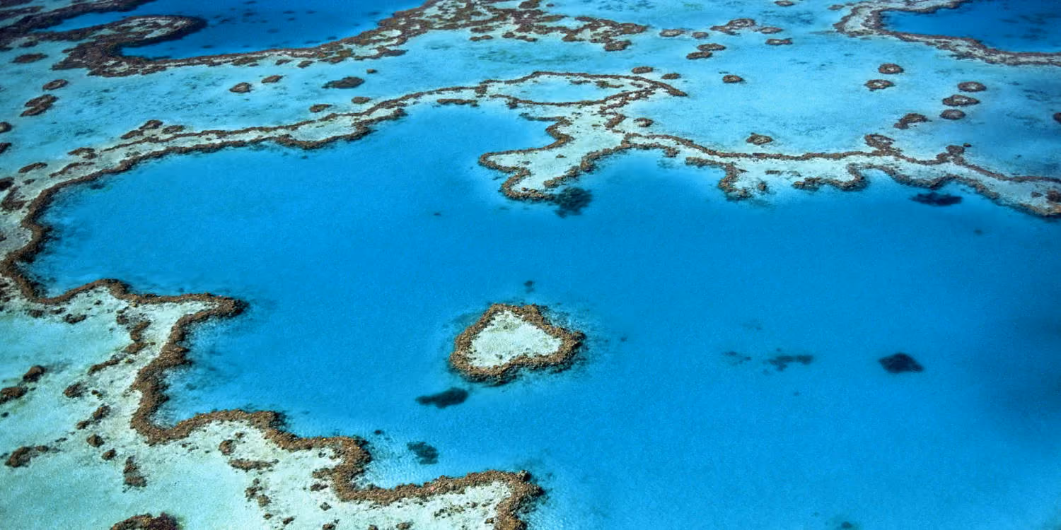
Marine science runs on comparable data. Reef condition, coastal change and species movement all depend on repeatable, long-term monitoring.
Reef and marine monitoring with an automated drone lets researchers and agencies capture that data far more often, without a crewed boat-based campaign for every survey.
Traditional survey programs struggle to keep pace. They are weather-limited, crew-intensive and intermittent, so data is collected in campaigns when programs need it consistently.
Reef and marine monitoring is the use of automated drone systems, remote operations technology and automated data workflows to perform routine aerial capture across reef, coastal and marine areas.
Rather than operating drones manually, missions are pre-planned and automatically executed on a schedule.
For example:
Captured data is automatically transferred into the scientific platforms researchers already use, such as Esri, for long-term, comparable analysis.
Reef and Benthic Monitoring
Repeat multispectral capture tracks bleaching, recovery and benthic condition over time.
Coastal Erosion Tracking
Shoreline transects monitor erosion and coastal change for management and planning.
Marine Biosecurity Surveillance
Aerial survey supports detection and monitoring of marine biosecurity risks.
Megafauna Observation
Non-invasive aerial observation supports cetacean and megafauna research.
Water-Quality Monitoring
Catchment-to-reef capture supports water-quality and runoff monitoring.
These workflows can be scheduled on a fixed cadence or run on-demand after events.
Reef and marine sites are remote and extend well beyond visual line of sight (VLOS).
Beyond visual line of sight (BVLOS) operations allow drones to survey ecosystems across remote, low-traffic airspace while maintaining compliance and safety.
BVLOS capability enables:
For research and environmental agencies, BVLOS is a key enabler of automated marine monitoring.
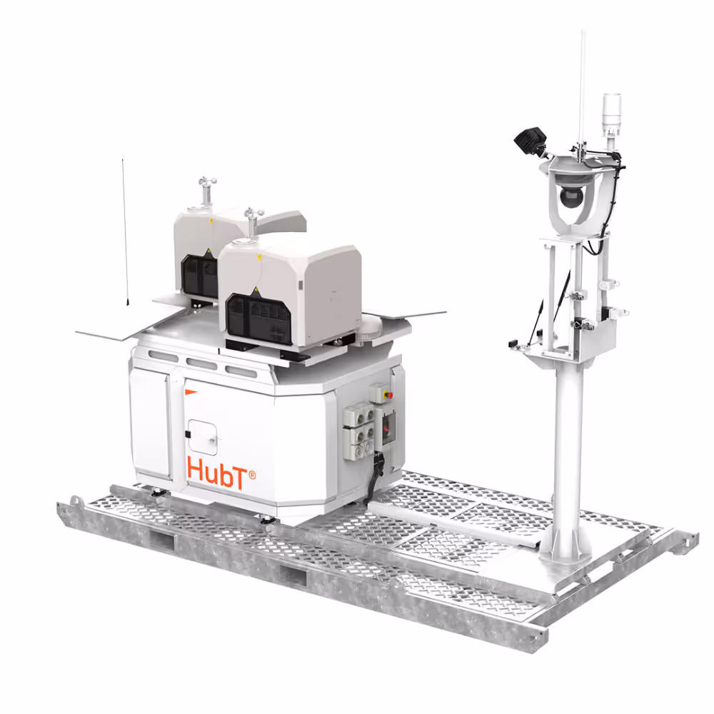
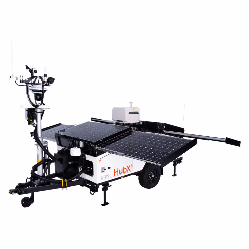
Effective marine monitoring requires more than a drone. It combines automated flight hardware, remote operations, governance controls and automated data delivery into a repeatable workflow.
At Sphere, reef and marine monitoring programs combine:
Together, these technologies help researchers and agencies scale monitoring beyond crewed boat-based campaigns.
Research and environmental programs adopting automated monitoring can achieve benefits across data quality, cost and impact.
Every monitoring program is different. The right mix of HubT and HubX depends on your sites, your survey cadence, and how data feeds your scientific analysis.
A Sphere team member can scope a deployment, identify the workflows worth automating first, and model repeatable autonomous survey against your current field-campaign costs.
Partner with us on a research or monitoring deployment to see how autonomous survey fits your program.