Sep 30, 2025 12:30 PM
AEST/AEDT
On demand
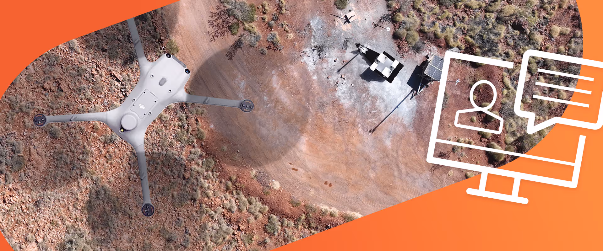
Join Sphere fan engaging webinar where we’ll dive into advanced drone survey techniques, including photogrammetry and LiDAR, and explore how to seamlessly integrate drone data with existing GIS and CAD systems. We’ll also share real-world case studies highlighting successful implementations in mining operations, giving you valuable insights and practical examples to enhance your projects.
This webinar is BOSSI-accredited. NSW surveyors earn CPD points while learning about the latest drone advancements and regulations. Join live or catch the replay, our expert team will cover everything you need to know.
Points earned:
DM1 0.5 MS
DM3 0.25 MS
Anyone who is interested in taking their surveying operations to the next level or is interested in using drones for surveying, regardless of their drone experience. Specifically:

Head of Flight Operations & Training
Elliot has been with Sphere since 2016. With a strong background in crewed and uncrewed aviation, he holds certifications like ATPL Theory, IREX, RePL, AROC, and BVLOS. As a member of the AAUS RPAS Operator Advisory Group, he’s the go-to expert for navigating airspace and leading cutting-edge drone projects.