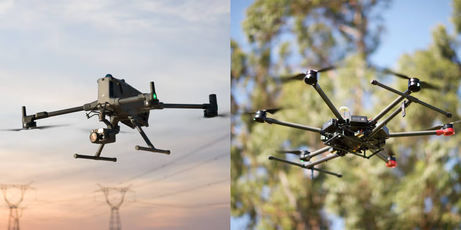
The payload combines a Livox LiDAR module, a high-accuracy IMU, and a camera with a 1-inch CMOS sensor explicitly designed to work with the DJI Matrice 300 RTK enterprise drone.
The Zenmuse L1 allows for true-colour point cloud models to be produced in real-time. Up to 2km of point cloud data can also be collected in a single flight and processed after the flight using the DJI Terra app. The data produced from the sensor is of the highest quality thanks to the inclusion of the IMU module that combines visual data with GNSS data.
DJI has decided to give the L1 a IP45 rating to not only match it to the Matrice 300 RTK but to also allow it to be used in the toughest of conditions without any issues.
IP45Protected from tools and small wires great than 1 millimetreProtected from low pressure water jets from any direction
Source: DJI