Automated Dewatering Pipeline Monitoring
Use Cases >

Automated Dewatering Pipeline Monitoring

Dewatering keeps a pit workable, but it moves a lot of water across a lease, often through kilometres of overland pipe in country that's hard to reach. When that water is saline, every leak is a potential licence event, and the longer it runs, the more ground there is to clean up.

Checking those lines by vehicle takes crews away from other work and still leaves days between checks. Automated drone monitoring flies the corridor on a schedule and puts the results in front of your team by midday.

What it picks up

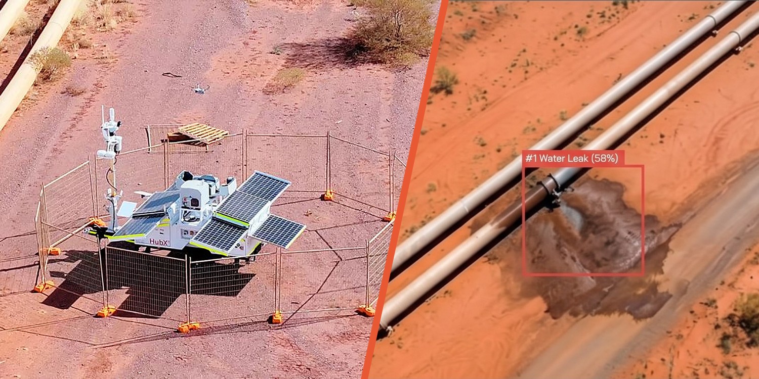
  • Leaks along the line. CuroAI scans every image and flags likely leaks with a location and confidence score, so your crew knows where to go before they leave.
  • Major overnight events. Thermal flights before sunrise show water on the ground as a temperature difference, so a large overnight failure doesn't wait for the next drive-by.
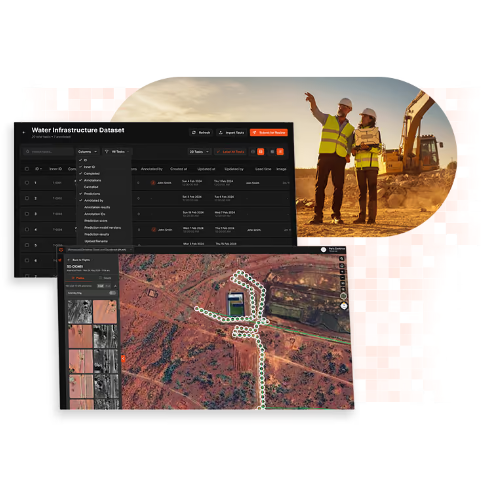
  • The condition of the whole corridor. Every image is georeferenced and stored, so your team can check any section of pipe from the office or compare it with earlier flights.
  • Whether a repair has held. The next scheduled flight covers the repaired section, so you can see the fix without sending someone back out.

Who it suits

Automated monitoring makes the most difference where pipelines are:

  • long or remote, and take hours to drive
  • carrying saline or otherwise contaminated water, with licence and remediation obligations attached to a spill
  • a long way from the nearest crew, or competing with other work for their time
  • running through country with no grid power or reliable road access

How it works

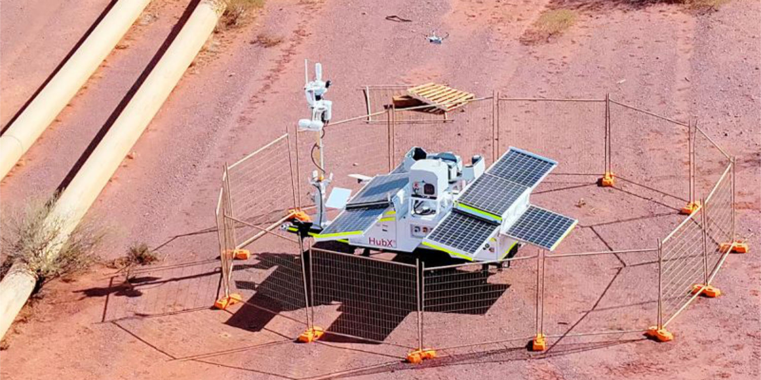
Drone-in-a-box units are positioned along the corridor so every section of pipe sits inside a flight plan. Flights run on a set schedule beyond visual line of sight (BVLOS), flown by Sphere's Remote Operations Centre, with thermal passes before sunrise and RGB and thermal passes through the day.

Imagery lands in CuroInsights, where CuroAI reviews it, and your team gets a daily report of detections by midday. When a crew checks a detection on site, they mark it as a real leak or a false alarm. That feedback trains the model on your corridor, so detection gets sharper the longer it runs.

Deployment options

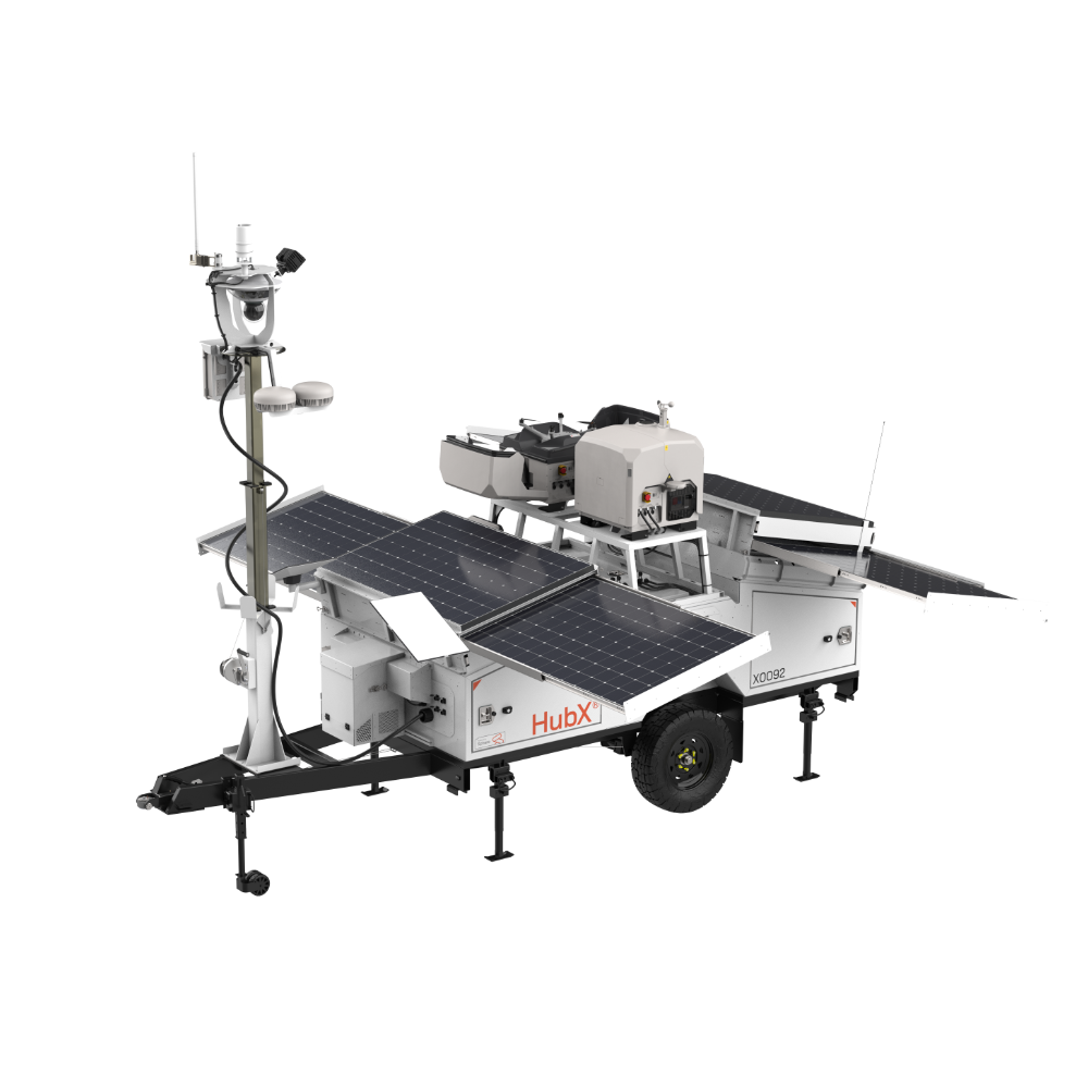
HubX is built for the corridor itself. It runs on solar power with its own satellite and LTE connection, so it needs no grid power, road access or permanent crew once it's placed. HubT suits fixed points with site power, such as bore fields and pump stations. Many corridors use a mix of both.

Every flight is planned, run and recorded in Curo, and all imagery and reports are stored in Australia.

Getting started

  1. Corridor assessment. We map your pipeline and work out how many hubs it needs and where they should go.
  2. Approvals. We extend Sphere's CASA BVLOS approvals and safety case to your lease, working with your site aviation team.
  3. First flights. The hubs go in and start flying the corridor on schedule, with pre-dawn thermal added once daytime flying is steady.
  4. Model tuning. Controlled releases and crew feedback train CuroAI on your ground, water and vegetation.

Benefits

  • Smaller spills. Daily flights mean a leak is found within a day, not whenever a crew next drives past.
  • Evidence for your regulator. Time-stamped imagery and a detection log show continuous monitoring when you report against licence conditions.
  • Fewer kilometres on remote roads. Crews drive to confirmed detections instead of along the whole line looking for them.
  • Data that stays onshore. Imagery, detections and reports are all stored in Australia.

Frequently asked questions

Does it work at night?

Yes. Pre-dawn thermal flights pick up major overnight leaks, because water on the ground shows up against the cold corridor before the sun warms it.

What happens when a leak is flagged?

The detection appears in CuroInsights with its location and imagery, and goes into the daily report to your team. Your crew decides whether to isolate a section, send someone out or keep watching it.

Do we need our own pilots?

No. Sphere's Remote Operations Centre flies the program under Sphere's CASA approvals, so your team only deals with the results.

Assess your corridor

A Sphere team member can map your corridor, recommend a hub layout and compare daily automated monitoring with what manual patrols cost you today. Get in touch with our team today and book a corridor assessment.
Related use cases